
¡El Tour
Circuits à vélo à petit budget au Mexique
www.BikeMexico.com
Les archives complètes · 2000–2020

Beyond the Mayan Riviera 2006
Saison 2005–2006 · tous les circuits de cette saison-là
Les documents préservés sur cette page — descriptions d'itinéraires, programmes jour par jour, légendes de photos, dépêches et avis de cyclistes — sont reproduits tels qu'ils ont été rédigés à l'origine : en anglais.
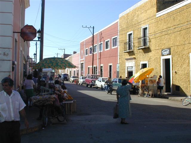
De Cancún à la coloniale Mérida, avec en chemin quantité de plages, de vie nocturne, de ruines mayas et de culture d'hier et d'aujourd'hui. Ce circuit de difficulté FACILE - MOYENNE commence comme notre classique "Yucatan's Beaches & Ruins" (voir ci-dessous), mais la deuxième semaine, un peu plus exigeante, se concentre sur les nombreuses ruines mayas de la région des collines Puuc.
Note d’archive : NOUVEAU circuit.
| Dates: | Mon Jan 9, 2006 to Sun Jan 22, 2006 (2 weeks - 10 cycling days) |
| Distances: | Average/day: 67km Maximum/day: 118km Total Approx: 670km |
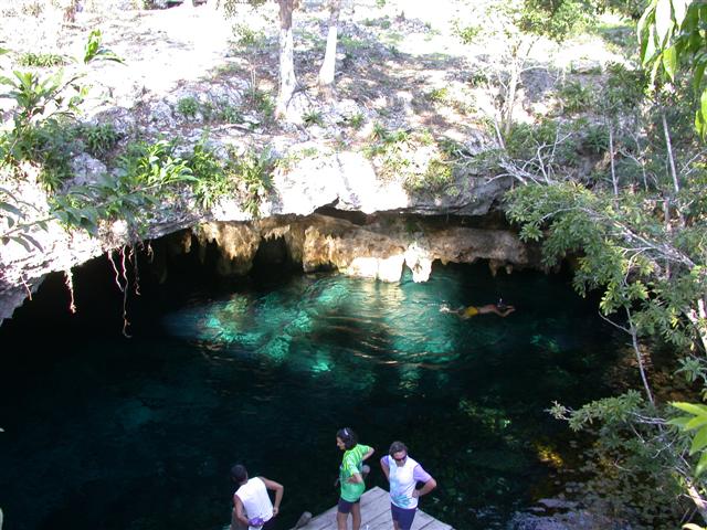
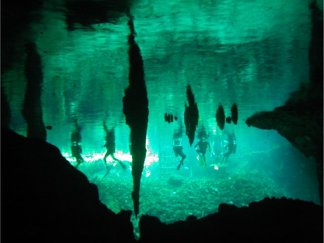
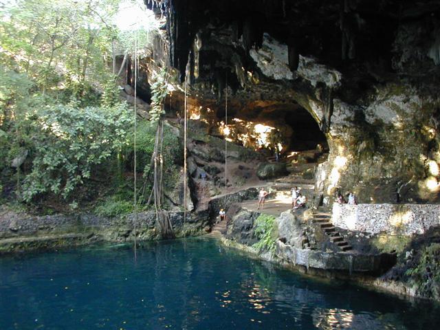
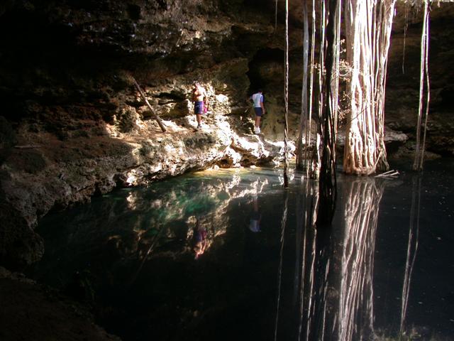
| Type de parcours: | LITELite DifficultyYou must have a basic level of fitness and at least aspire to be able to complete the distances in this tour (we know you can!). Distances average around 60 km, and are always less the 100 km per day. Roads are flat and generally not demanding.REGULARRegular DifficultyA good level of fitness is required. Distances average around 50 - 80 km per day (depending on hills), and are always less than 120 km. Roads range from flat to very hilly. We may climb up to 1500 metres on a hard day.WeatherThe Weather: Yucatan PeninsulaThe Yucatan's best weather is during our winter months. From November till March the temperature hovers in the mid 20's to the mid 30's (celcius) with sunny clear skies. Humidity levels can be high as we head inland but a warm steady breeze and the occasional but rare tropical thunderstorm will keep you feeling refreshed.RoadThe Road: Yucatan PeninsulaThe Yucatan's roads are considered the finest in Mexico. They are generally in excellent condition with even, paved surfaces. Some stretches of our route also include a paved shoulder. The route meanders along flat terrain with the occasional rolling section. In most places traffic is light to non-existent. Depending on the time of day, roads may be busy near towns such as Cancun, Valladolid and Merida, however drivers are generally respectful of cyclists and will give you as much room as possible.LandThe Land: Yucatan PeninsulaThe Yucatan peninsula at the south eastern tip of Mexico is comprised of three states, Campeche, Yucatan, and Quintana Roo. The peninsula is a massive, flat carbonate - limestone shelf formed by prehistoric high sea levels. Too porous to support a river system, fresh water accumulates underground forming an extensive subterranean river network. Where the erosive process has broken through the earth's surface, cenotes (se-no-tes; limestone sinkholes or pools) have formed. Erosion has also formed numerous caves, some of them enormous and accessible to tourists. The peninsula's landscape is covered by thorn forest in the north and rain jungle in the south. |
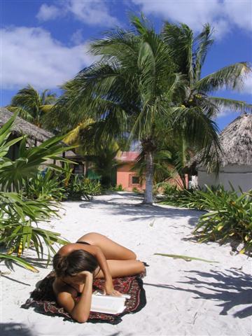
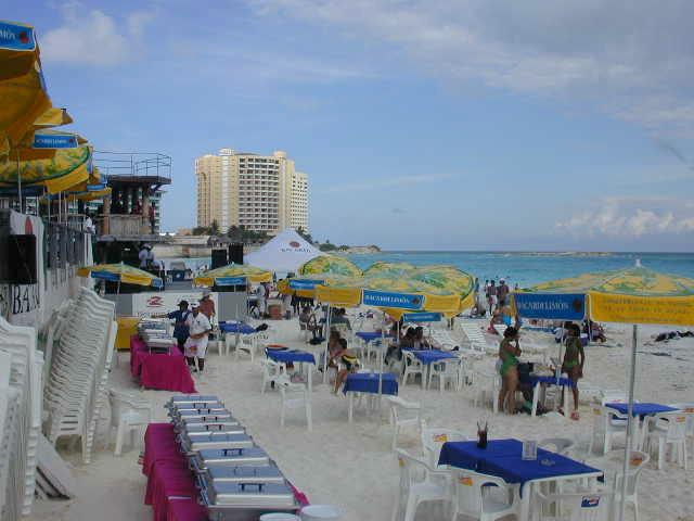
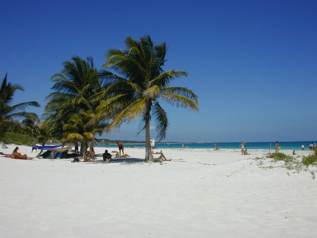
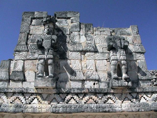
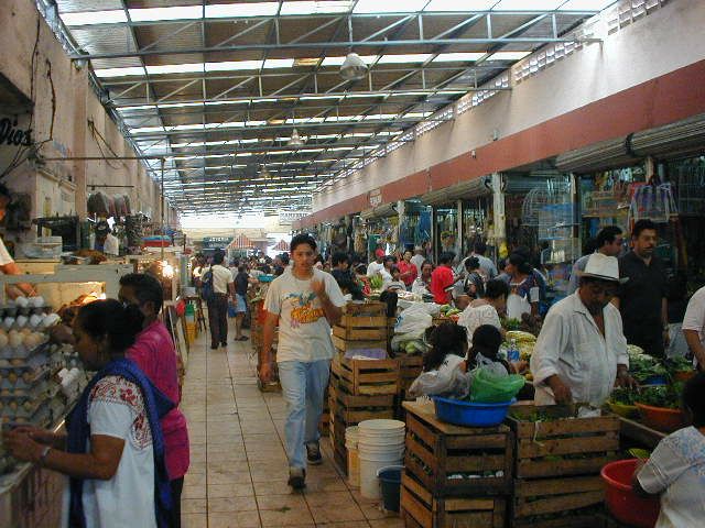
| Temps forts: | Real Mexican-Yucatecan culture. 'Mayan Riviera' on the Caribbean coast. Small towns, ruins, cenotes, fishing villages, quiet roads, beaches. Mérida; bustling city, colonial architecture, haciendas, art, food, market. |
| Prix: | US$1,035 (le coût terrestre total approximatif publié cette année-là) |
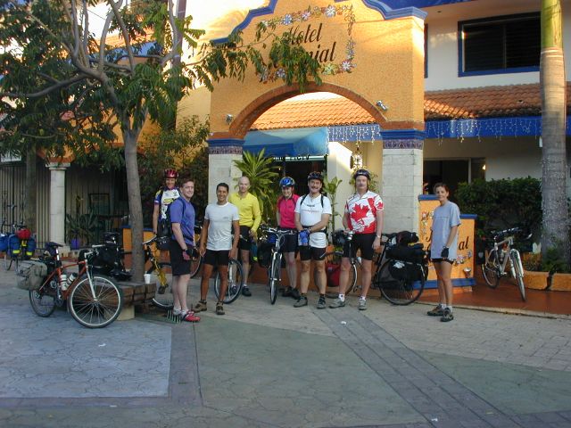
| Participants: | 3 cyclistes (d’après la base clients de la compagnie) |
Le parcours
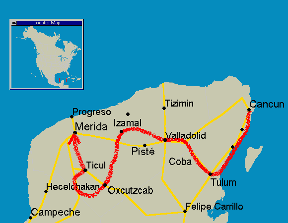
Itinéraire
Les itinéraires ont toujours été sujets à de légères modifications.
QuandOùDistanceTemps forts
Day 0Meet in Cancun-Hotel Zone (Beaches, Bars, Discos, Clubs), Mainland Town
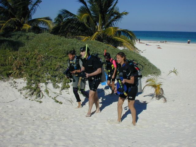
Day 1Cancun to Puerto Morelos53 kmSnorkeling, Scuba-Diving, Beach, Camping Possible
Day 2Puerto Morelos to Playa del Carmen37 kmBeach, Scuba-Diving, Snorkeling
Day 3Playa del Carmen to Tulum61-74 kmCenotes, caves, beach, camping possible
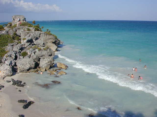
Day 4Tulum-Beach, snorkel, Scuba-Diving, Tulum ruins, camping possible
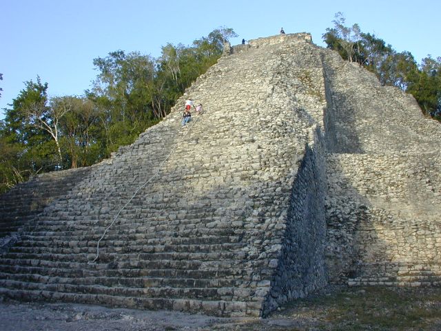
Day 5Tulum to Cobá55 kmMayan Ruins, Cenotes, Quiet Small Town
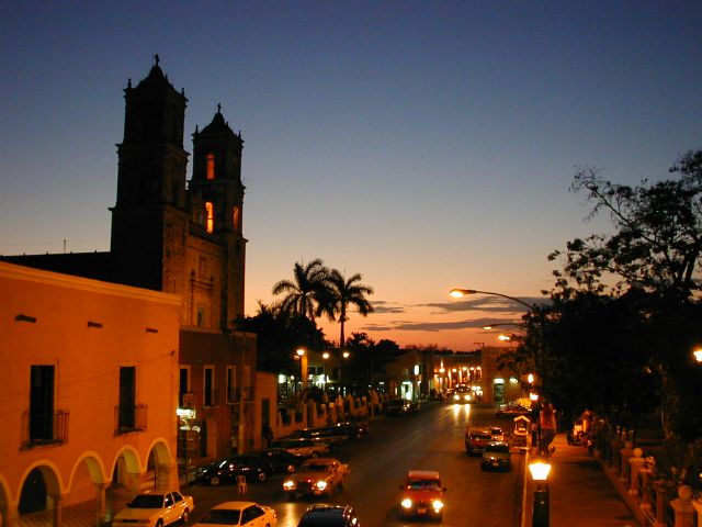
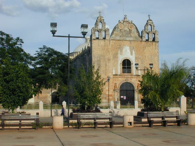
Day 6Cobá to Valladolid62 kmCenote Zací, Zocalo, Churches, Parks, Market
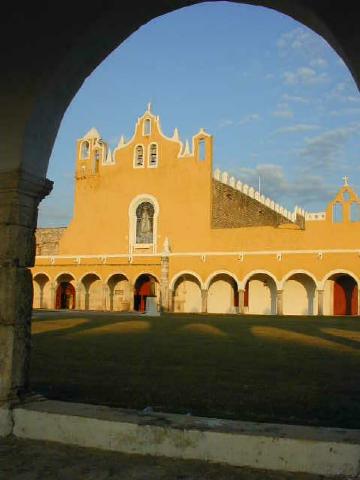
Day 7Valladolid to Izamal105 kmCenotes, small towns, quiet roads
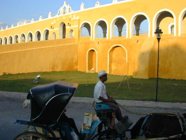
Day 8Izamal-Mayan Ruins, Convent, Zocalo, Market
Day 9Izamal to Oxcutzcab118 kmQuiet roads, no tourists, cenotes
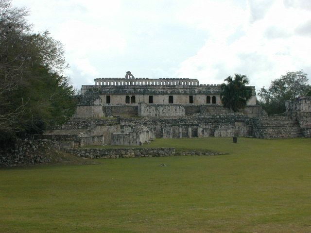
Day 10Oxcutzcab to Santa Elena (Ruta Puuc)52 kmLoltún caves, Ruta Puuc Mayan ruins, quiet road
Day 11Santa Elena to Ticul44 kmFamous Uxmal Mayan ruins.
Day 12Ticul to Mérida83 kmMayan villages, Cenotes, Haciendas.
Day 13Mérida-Colonial Center, Zocalo, Market. Stay a bit longer or bus back to Cancun to fly back home
Ce que ça coûtait cette saison-là
| Forfait des guides | + Hébergement | + Repas & boissons | + Divers | = Coût terrestre total approx. |
|---|---|---|---|---|
| $500 | $185 | $170 | $180 | $1,035 |
Tous les montants sont en dollars américains, tels que publiés à l’époque. Les participants payaient eux-mêmes l’hébergement, les repas et les droits d’entrée en cours de route — le Forfait des guides était la seule somme facturée par ¡El Tour. Historique complet : le prix de Beyond the Mayan Riviera au fil des ans.
Album photo