
¡El Tour
Circuits à vélo à petit budget au Mexique
www.BikeMexico.com
Les archives complètes · 2000–2020

Pilgrimage in Oaxaca 2005
Saison 2005–2006 · tous les circuits de cette saison-là
Les documents préservés sur cette page — descriptions d'itinéraires, programmes jour par jour, légendes de photos, dépêches et avis de cyclistes — sont reproduits tels qu'ils ont été rédigés à l'origine : en anglais.
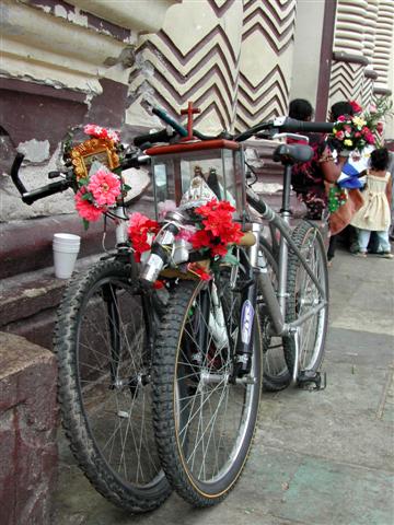
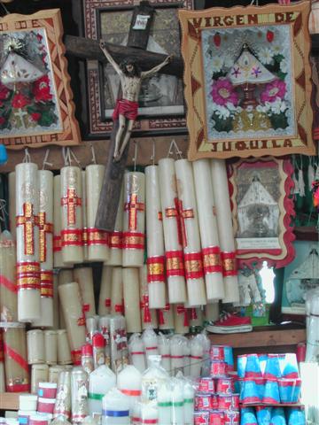
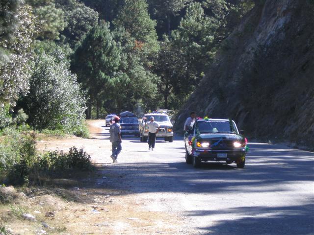
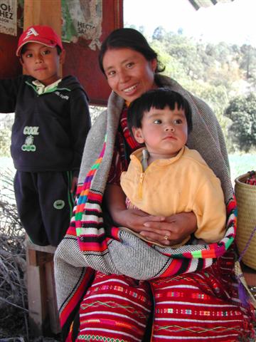
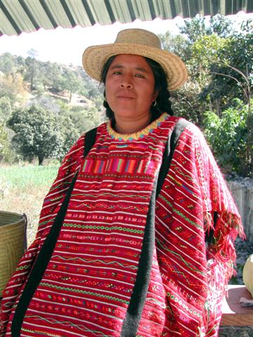
Ce circuit d'une difficulté SPORTIVE à l'extrême, dans l'État d'Oaxaca, commence et se termine dans la ville d'Oaxaca. La route vers la côte nous fera passer par Juquila, haut lieu de pèlerinage mexicain. On y vient de tout le Mexique à pied, à vélo et en véhicule motorisé. Après un bref séjour côtier dans la station de surf de Pto. Escondido, nous repartons vers les collines et les montagnes pour boucler la boucle jusqu'à Oaxaca. La région est riche en cultures indigènes, principalement mixtèque, mais aussi triqui. Nous terminons le parcours le long d'une ancienne route commerçante qui serpente au sommet d'une haute crête.
Note d’archive : NOUVEAU circuit.
| Dates: | Thurs Dec 1, 2005 to Thurs Dec 15, 2005 (2 weeks - 10 cycling days) |
| Distances: | Average/day: 87km Maximum/day: 117km Total Approx: 870km |
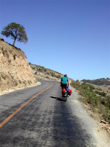
| Type de parcours: | Extreme CHALLENGEChallenge DifficultyYou need to have excellent fitness and good cycling experience. Distances generally average about 70 - 110 km per day (depending on hills), and are always less than 150 km. Roads range from flat to Sierra Madre (mountainous!). We may climb up to 3000 metres in a day.WeatherThe Weather: MountainsLate fall and winter in the Mexican mountains is dry and cool. The sun warms things up during the daytime, but expect freezing temperatures overnight. High volcanoes can be snowcapped around this time.Spring is warmer, and in the summer it will often rain in the afternoon. RoadThe Road: MountainsThe road is generally in excellent condition. There are some sections of dirt road, and rough pavement. In the mountainous areas, the road rarely flattens out and occasionally climbs at more than a 10% grade, however in the high plateaus the road can be fairly flat to rolling. Traffic is generally light to non-existent, except of course close to larger towns and cities. The surface is generally wide and the drivers are courteous.LandThe Land: MountainsAltitudes generally range between 1500 and 2500m, however on some tours we may climb up over 4000m. The high volcanoes are snow-capped in the winter. The mountain vegetation varies greatly from humid cloud forests to cool dry pine forests or dry desert shrub. |
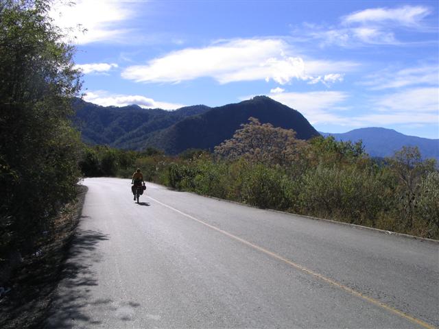
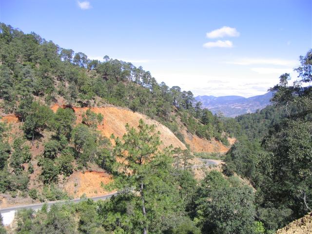
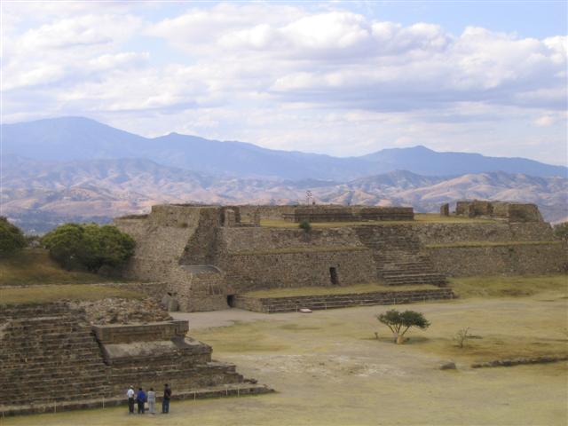
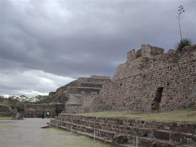
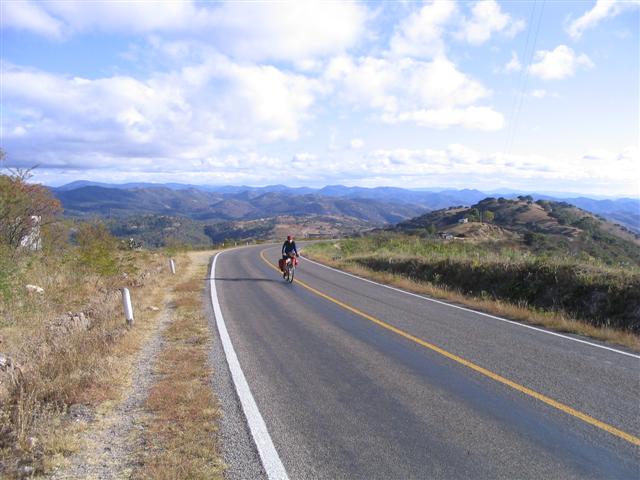
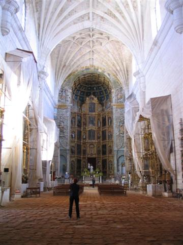
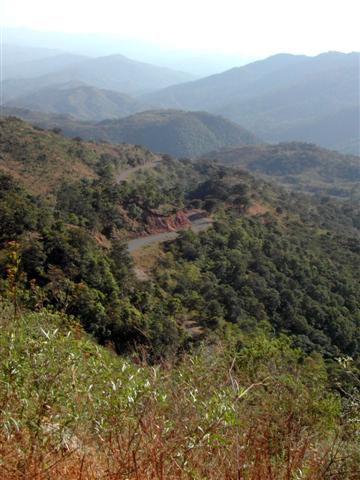
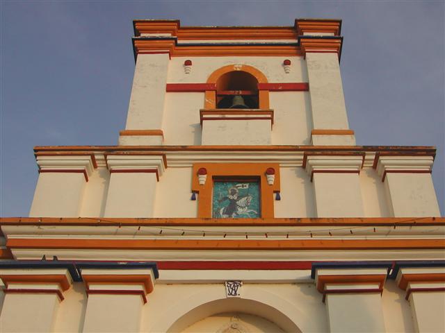
| Temps forts: | High mountains and deep valleys make for some outstanding scenery and challenging riding. There are Zapotec ruins as well as indigenous Zapotec, Mixtec and Triqui people and settlements. The roads here are very quiet, most with very little traffic. We will make the famous pilgrimage to Santa Catarina Juquila, then head down to the famous surfer town of Puerto Escondido on the coast. There are more challenging climbs ahead, as well as colonial towns, little Paris, the biggest Dominican church in all of Mexico and a spectacular almost 50km long stretch of road along an ancient trading route that meanders atop a high ridge offering views on both sides. |
| Prix: | US$935 (le coût terrestre total approximatif publié cette année-là) |
| Participants: | 8 cyclistes (d’après la base clients de la compagnie) |
Le détail du parcours, la carte et l’itinéraire ci-dessous sont préservés de l’édition 2006 de ce circuit — la version de ce parcours la plus proche qui ait survécu.
Le parcours
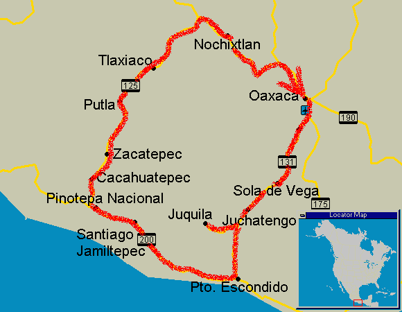
Itinéraire
Les itinéraires ont toujours été sujets à de légères modifications.
QuandOùDistanceTemps forts
Day 0Meet in Oaxaca city-Mountain colonial city. Markets, museums, shady plazas, nearby Zapotec ruins of Monte Alban.
Day 1Oaxaca to Sola de Vega94kmStarts flat, end in the mountains
Day 2Sola de Vega to Juchatengo51kmChallenging climb, spectacular descent
Day 3Juchatengo to Juquila53kmAmazing views, challenging climbing
Day 4Juquila to Puerto Escondido117kmUp, and dooooooowwwwwwwwwwnnn... the Pacific ocean
Day 5Puerto Escondido-Rest Day. Small Resort Town. Surfer Beach, Mexican Resort Beach, Seafood, Nightlife.
Day 6Puerto Escondido to Santiago Jamiltepec110kmBeautiful foothills and distant mountains. Colonial mountain town.
Day 7Santiago Jamiltepec to Cacahuatepec80kmgentle climbs, foothills
Day 8Cacahuatepec-Rest day
Day 9Cacahuatepec to Putla87kmmore climbing, small towns, gentle mountains
Day 10Putla to Tlaxiaco88kmserious climbing, breath-taking views, little Paris
Day 11Tlaxiaco-Rest day. Little Paris
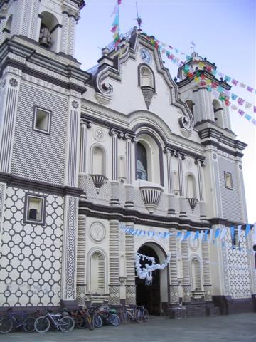
Day 12Tlaxiaco to Nochixtlan83kmsmall towns, rolling countryside, huge church
Day 13Nochixtlan to Oaxaca city103kmHard day, 50km along a high ridge, great views on both sides
Day 14Oaxaca city-Stay a bit longer or fly back home
Ce que ça coûtait cette saison-là
| Forfait des guides | + Hébergement | + Repas & boissons | + Divers | = Coût terrestre total approx. |
|---|---|---|---|---|
| $500 | $130 | $170 | $120 | $920 |
Tous les montants sont en dollars américains, tels que publiés à l’époque. Les participants payaient eux-mêmes l’hébergement, les repas et les droits d’entrée en cours de route — le Forfait des guides était la seule somme facturée par ¡El Tour. Historique complet : le prix de Pilgrimage in Oaxaca au fil des ans.
Album photo