
¡El Tour
Circuits à vélo à petit budget au Mexique
www.BikeMexico.com
Les archives complètes · 2000–2020

More Yucatan Backroads 2008
Saison 2007–2008 · tous les circuits de cette saison-là
Les documents préservés sur cette page — descriptions d'itinéraires, programmes jour par jour, légendes de photos, dépêches et avis de cyclistes — sont reproduits tels qu'ils ont été rédigés à l'origine : en anglais.
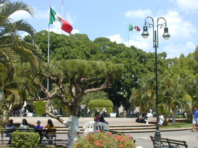
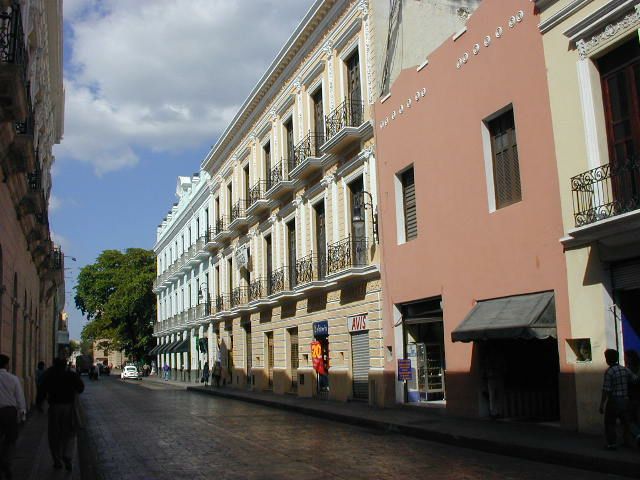
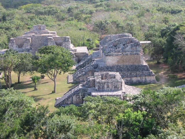
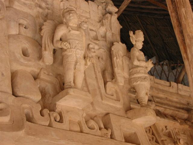
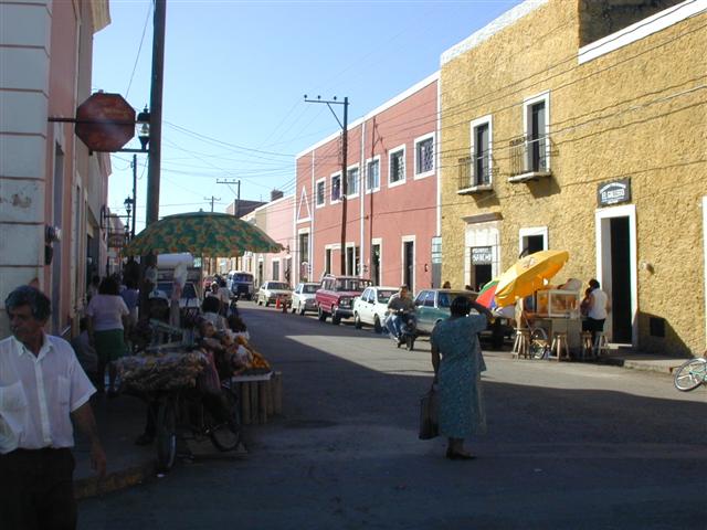
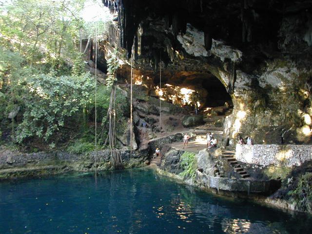
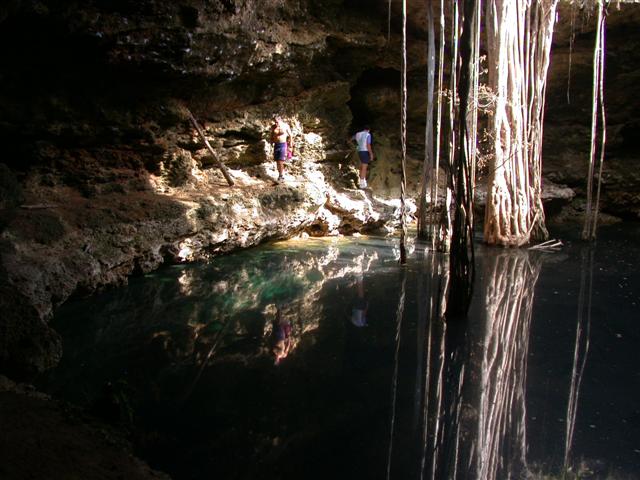
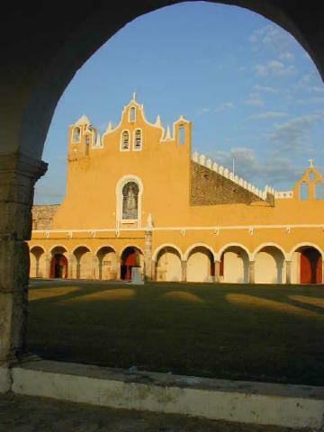
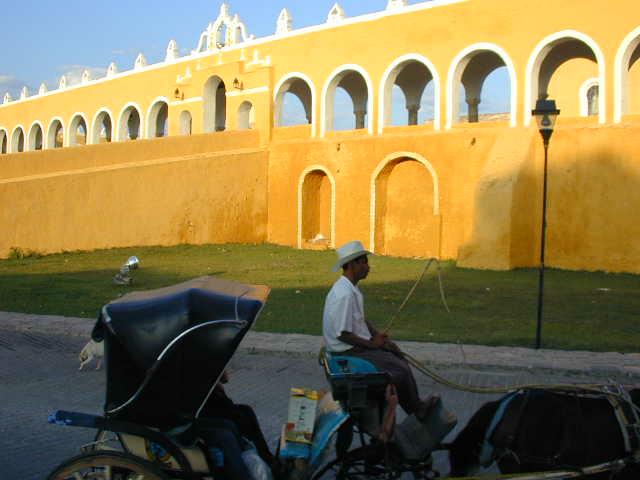
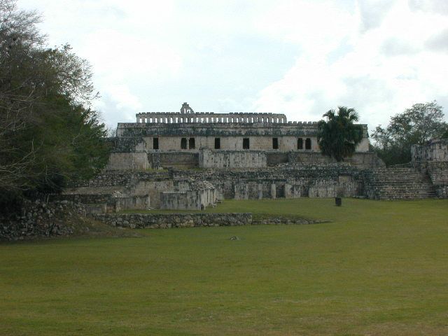
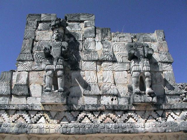
Ce circuit de difficulté moyenne commence et se termine à Mérida. Nous visiterons les grands sites mayas, dont Chichén Itzá, Ek Balam et Cobá, ainsi que des sites moins connus mais importants comme Mayapán, découvrirons de nombreux cénotes et pédalerons sur des routes peu fréquentées. Les villes et bourgs coloniaux comme Valladolid, Izamal et Tizimín invitent à la flânerie, et nous finirons par la côte rustique du golfe, à rouler entre mer et lagunes, poussés par un vent arrière quasi constant.
Note d’archive : NOUVEAU circuit - refonte de Roaming Backroads Yucatan.
| Dates: | Tues Jan 8, 2008 to Tues Jan 22, 2008 (2 weeks - 11 cycling days) |
| Distances: | Average/day: 80km Maximum/day: 118km Total Approx: 797km |
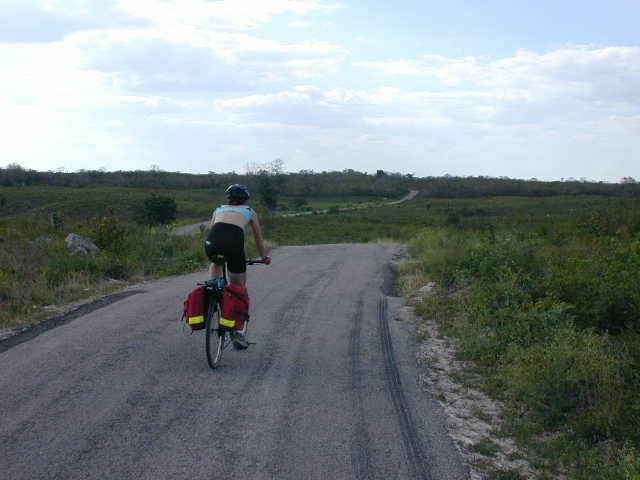
| Type de parcours: | REGULARRegular DifficultyA good level of fitness is required. Distances average around 50 - 80 km per day (depending on hills), and are always less than 120 km. Roads range from flat to very hilly. We may climb up to 1500 metres on a hard day.WeatherThe Weather: Yucatan PeninsulaThe Yucatan's best weather is during our winter months. From November till March the temperature hovers in the mid 20's to the mid 30's (celcius) with sunny clear skies. Humidity levels can be high as we head inland but a warm steady breeze and the occasional but rare tropical thunderstorm will keep you feeling refreshed.RoadThe Road: Yucatan PeninsulaThe Yucatan's roads are considered the finest in Mexico. They are generally in excellent condition with even, paved surfaces. Some stretches of our route also include a paved shoulder. The route meanders along flat terrain with the occasional rolling section. In most places traffic is light to non-existent. Depending on the time of day, roads may be busy near towns such as Cancun, Valladolid and Merida, however drivers are generally respectful of cyclists and will give you as much room as possible.LandThe Land: Yucatan PeninsulaThe Yucatan peninsula at the south eastern tip of Mexico is comprised of three states, Campeche, Yucatan, and Quintana Roo. The peninsula is a massive, flat carbonate - limestone shelf formed by prehistoric high sea levels. Too porous to support a river system, fresh water accumulates underground forming an extensive subterranean river network. Where the erosive process has broken through the earth's surface, cenotes (se-no-tes; limestone sinkholes or pools) have formed. Erosion has also formed numerous caves, some of them enormous and accessible to tourists. The peninsula's landscape is covered by thorn forest in the north and rain jungle in the south. |
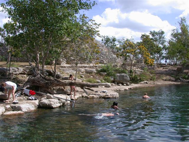
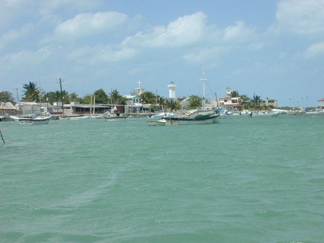
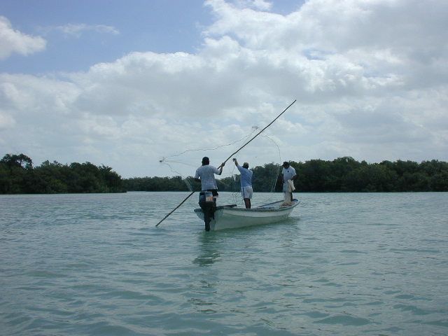
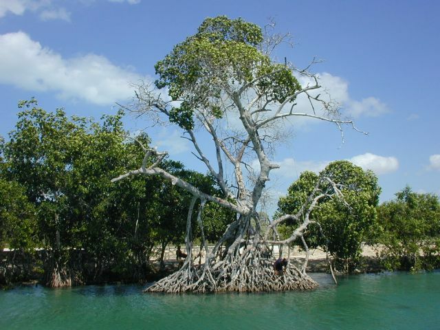
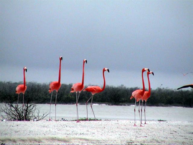
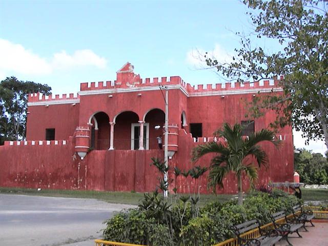
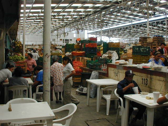
| Temps forts: | Real Mexican-Yucatecan culture. Flamingos and other birds, mangrove tour. Small towns, ruins, lots of cenotes, fishing villages, quiet roads, beaches. Mérida; bustling city, colonial architecture, art, food, market. |
| Prix: | US$1,135 (le coût terrestre total approximatif publié cette année-là) |
| Participants: | 7 cyclistes (d’après la base clients de la compagnie) |
Ce que ça coûtait cette saison-là
| Forfait des guides | + Hébergement | + Repas & boissons | + Divers | = Coût terrestre total approx. |
|---|---|---|---|---|
| $600 | $205 | $180 | $150 | $1,135 |
Tous les montants sont en dollars américains, tels que publiés à l’époque. Les participants payaient eux-mêmes l’hébergement, les repas et les droits d’entrée en cours de route — le Forfait des guides était la seule somme facturée par ¡El Tour. Historique complet : le prix de More Yucatan Backroads au fil des ans.
Album photo