

¡El Tour
Circuits à vélo à petit budget au Mexique
www.BikeMexico.com
Les archives complètes · 2000–2020

Eternal Spring in Mexico 2005
Saison 2005 · tous les circuits de cette saison-là
Les documents préservés sur cette page — descriptions d'itinéraires, programmes jour par jour, légendes de photos, dépêches et avis de cyclistes — sont reproduits tels qu'ils ont été rédigés à l'origine : en anglais.
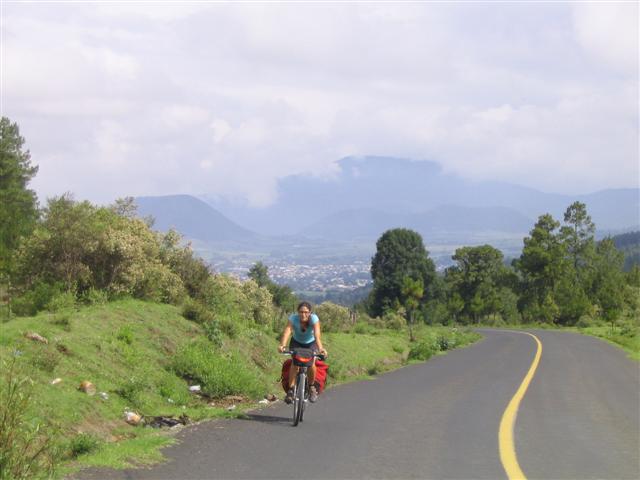
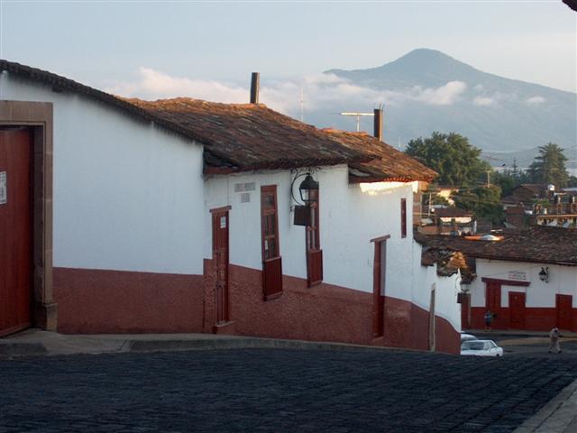
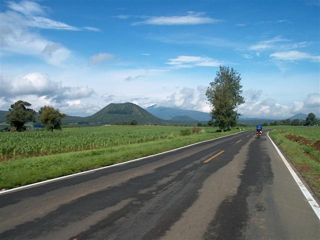
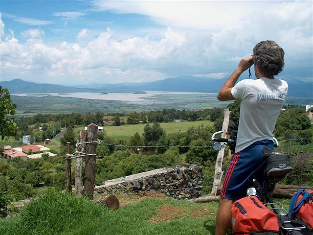
Sur ce circuit de difficulté MOYENNE - SPORTIVE, nous pédalons à travers les hauts plateaux de l'État du Michoacán. L'altitude varie de 1500m à 2500m, si bien que le climat reste frais. Nous explorerons des villes coloniales, des bourgs indigènes purépechas, le plus jeune volcan du monde, la capitale mondiale de l'avocat et de spectaculaires paysages de montagne. Il y a des lacs, des marchés colorés, une histoire et une culture passionnantes. Pour ce circuit, nous nous retrouvons à Morelia, d'où un transfert nous conduit à Carapán, point de départ commode d'une boucle qui nous ramène finalement à Morelia.
Note d’archive : Nouveau circuit d'été destiné aux enseignants.
| Dates: | Thurs Jul 7, 2005 to Thurs Jul 21, 2005 (2 weeks - 10 cycling days) |
| Distances: | Average/day: 53km Maximum/day: 69km Total Approx: 532km |
| Type de parcours: | REGULARRegular DifficultyA good level of fitness is required. Distances average around 50 - 80 km per day (depending on hills), and are always less than 120 km. Roads range from flat to very hilly. We may climb up to 1500 metres on a hard day.CHALLENGEChallenge DifficultyYou need to have excellent fitness and good cycling experience. Distances generally average about 70 - 110 km per day (depending on hills), and are always less than 150 km. Roads range from flat to Sierra Madre (mountainous!). We may climb up to 3000 metres in a day.WeatherThe Weather: MountainsLate fall and winter in the Mexican mountains is dry and cool. The sun warms things up during the daytime, but expect freezing temperatures overnight. High volcanoes can be snowcapped around this time.Spring is warmer, and in the summer it will often rain in the afternoon. RoadThe Road: MountainsThe road is generally in excellent condition. There are some sections of dirt road, and rough pavement. In the mountainous areas, the road rarely flattens out and occasionally climbs at more than a 10% grade, however in the high plateaus the road can be fairly flat to rolling. Traffic is generally light to non-existent, except of course close to larger towns and cities. The surface is generally wide and the drivers are courteous.LandThe Land: MountainsAltitudes generally range between 1500 and 2500m, however on some tours we may climb up over 4000m. The high volcanoes are snow-capped in the winter. The mountain vegetation varies greatly from humid cloud forests to cool dry pine forests or dry desert shrub. |
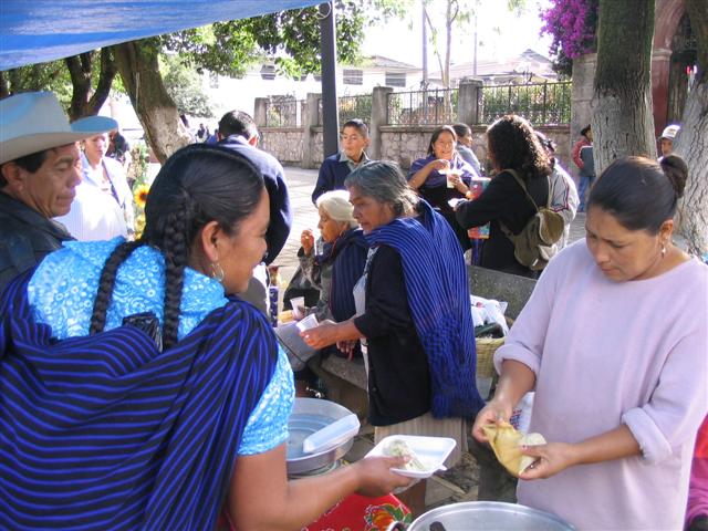
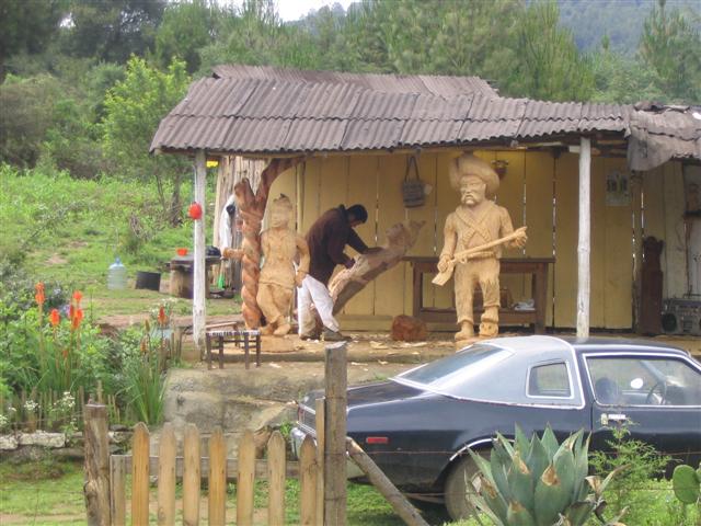
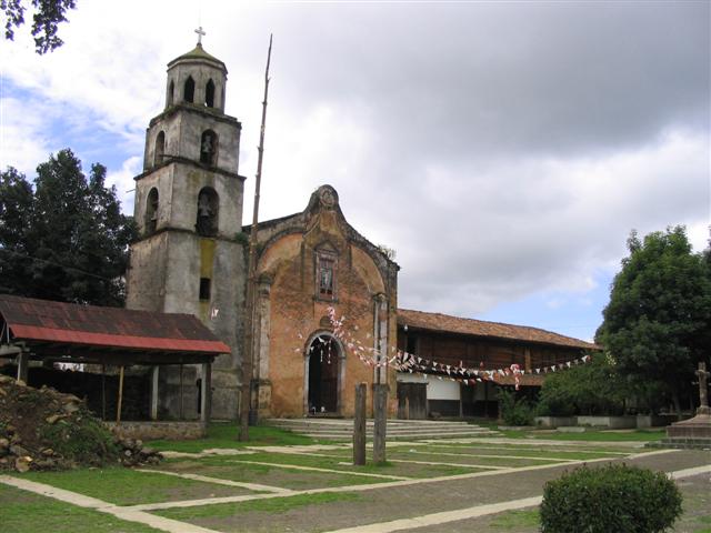
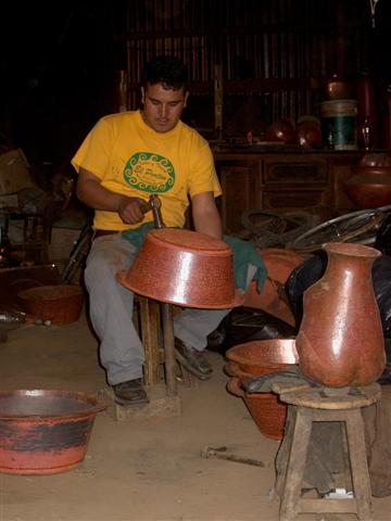
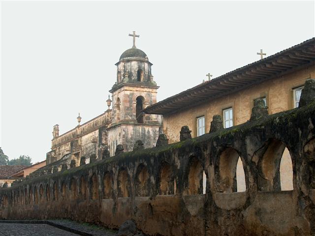
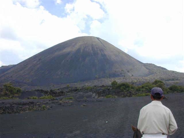
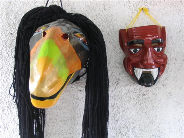
| Temps forts: | Spectacular mountain views of Michoacan state, challenging climbs, exciting descents, the world's newest volcano (Volcán Paricutin), the capital of the avocado, many colonial towns and cities, indigenous Purepecha culture and ancient Tarasco ruins, a wide variety of hanycrafts including hammered copperware, masks and textiles. There's a geyser, lakes, various church and cathedral architectures including colonial, baroque and gothic, and a tasty variety of traditional cuisine. |
| Prix: | US$935 (le coût terrestre total approximatif publié cette année-là) |
| Participants: | 1 cycliste (d’après la base clients de la compagnie) |
Le parcours
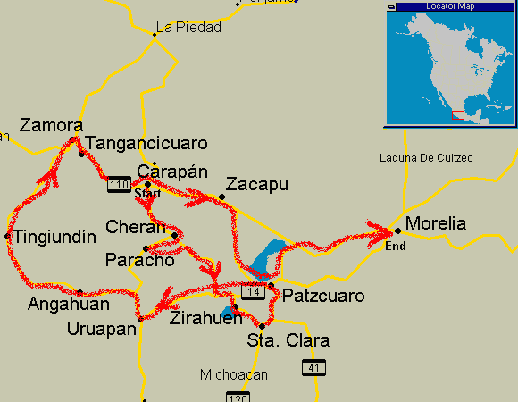
Itinéraire
Les itinéraires ont toujours été sujets à de légères modifications.
QuandOùDistanceTemps forts
Day 0Meet in Morelia-UNESCO Heritage site, colonial state capital, markets, museums
Day 1Transport to Carapán, ride to Cherán27-51kmBeautiful mountain scenery, side trip to Paracho the guitar capital
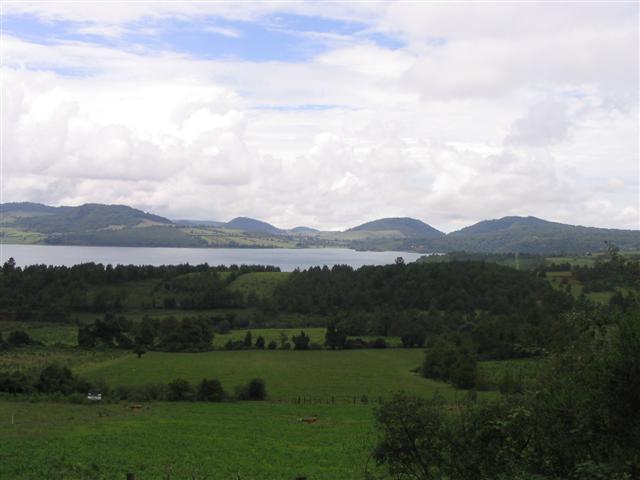
Day 2Cherán to Zirahuén42kmVery quiet smooth roads, great views, small towns and villages, small lakes-side resort
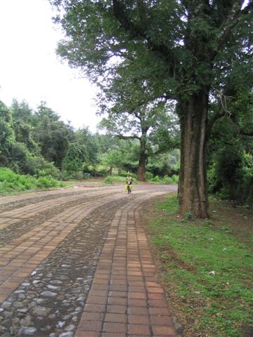
Day 3Zirahuén to Pátzcuaro via Sta. Clara del Cobre36kmBrick road, copper town, view of lake Pátzcuaro
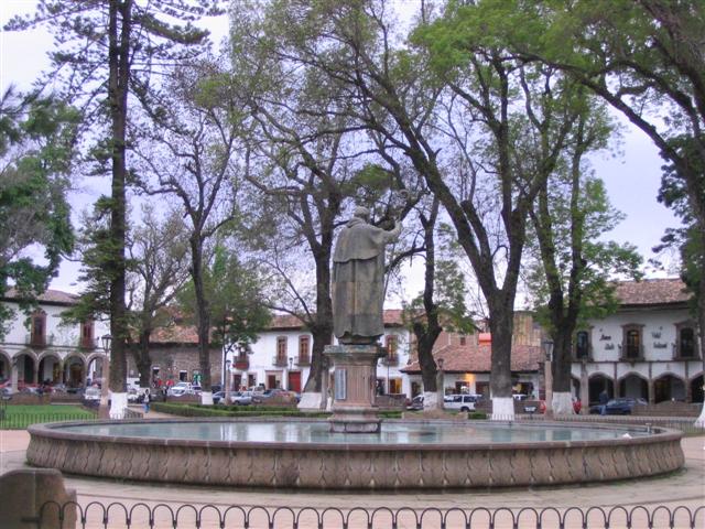
Day 4Pátzcuaro-Rest day. Gorgeous colonial town, handycrafts from the surrounding area, market
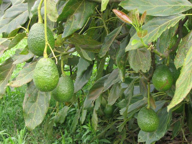
Day 5Pátzcuaro to Uruapan69kmMainly downhill, Tarascan ruins, world capital of the avocado, national park
Day 6Uruapan to Angahuán37kmChallenging climbing, spectacular views
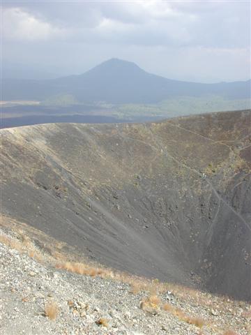
Day 7Angahuán-Volcán Paricutín, world's newest volcano
Day 8Angahuán to Tinguindín56kmagricultural center, fruit orchards, small colonial town
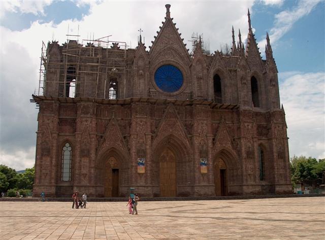
Day 9Tinguindín to Tangancicuaro59kmUnfinished gothic cathedral, sweeping views
Day 10Tangancicuaro to Zacapu54kmvalley of the 11 towns
Day 11Zacapu-Rest day. Ixtlan de los Hervores geyser
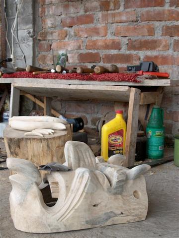
Day 12Zacapu to Patzcuaro61kmEasy climbs, fast descents, great views of lake Patzcuaro, mask making town
Day 13Patzcuaro to Morelia67kmTarascan ruins,
Day 14Morelia-Stay a little longer or fly back home
Ce que ça coûtait cette saison-là
| Forfait des guides | + Hébergement | + Repas & boissons | + Divers | = Coût terrestre total approx. |
|---|---|---|---|---|
| $500 | $150 | $170 | $150 | $970 |
Tous les montants sont en dollars américains, tels que publiés à l’époque. Les participants payaient eux-mêmes l’hébergement, les repas et les droits d’entrée en cours de route — le Forfait des guides était la seule somme facturée par ¡El Tour. Historique complet : le prix de Eternal Spring in Mexico au fil des ans.
Album photo

Ce circuit lors d’autres saisons : 2006