
¡El Tour
Budget Bicycle Tours in Mexico
www.BikeMexico.com
The Complete Archive · 2000–2020

Mexican Three Week Odyssey 2010
Season 2009–2010 · all tours that season · Announced but season records end here
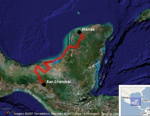
On this 3 week regular - challenge difficulty tour we start in Mérida and finish in San Cristobal de las Casas in the Chiapas highlands. The odyssey is split up into four phases; the Yucatan, gulf coast, wetlands, the cacao region, and the mountains. We will see an impressive cross-section of south-easern Mexico and explore a diverse array of culture and geography.
Archive note: mtw10 pages drafted but the tour is absent from all 2009-10 listings and dates.js. Announced on the 2008-era schedule as 'Mexican Three Week Odyssey - Feb to Mar 2010', price still unannounced; season records end there.
| Dates: | not preserved — season 2009–2010 (3 weeks - 14 cycling days) |
| Distances: | Average/day: 81 km Maximum/day: 133 km Total Approx: 1127 km |
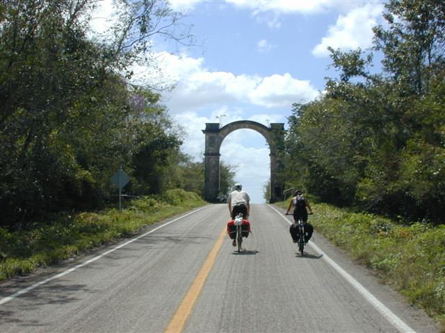
| Route Type: | REGULARRegular DifficultyA good level of fitness is required. Distances average around 50 - 80 km per day (depending on hills), and are always less than 120 km. Roads range from flat to very hilly. We may climb up to 1500 metres on a hard day.CHALLENGEChallenge DifficultyYou need to have excellent fitness and good cycling experience. Distances generally average about 70 - 110 km per day (depending on hills), and are always less than 150 km. Roads range from flat to Sierra Madre (mountainous!). We may climb up to 3000 metres in a day.WeatherThe Weather: Yucatan PeninsulaThe Yucatan's best weather is during our winter months. From November till March the temperature hovers in the mid 20's to the mid 30's (celcius) with sunny clear skies. Humidity levels can be high as we head inland but a warm steady breeze and the occasional but rare tropical thunderstorm will keep you feeling refreshed.RoadThe Road: Yucatan PeninsulaThe Yucatan's roads are considered the finest in Mexico. They are generally in excellent condition with even, paved surfaces. Some stretches of our route also include a paved shoulder. The route meanders along flat terrain with the occasional rolling section. In most places traffic is light to non-existent. Depending on the time of day, roads may be busy near towns such as Cancun, Valladolid and Merida, however drivers are generally respectful of cyclists and will give you as much room as possible.LandThe Land: Yucatan PeninsulaThe Yucatan peninsula at the south eastern tip of Mexico is comprised of three states, Campeche, Yucatan, and Quintana Roo. The peninsula is a massive, flat carbonate - limestone shelf formed by prehistoric high sea levels. Too porous to support a river system, fresh water accumulates underground forming an extensive subterranean river network. Where the erosive process has broken through the earth's surface, cenotes (se-no-tes; limestone sinkholes or pools) have formed. Erosion has also formed numerous caves, some of them enormous and accessible to tourists. The peninsula's landscape is covered by thorn forest in the north and rain jungle in the south.Chiapas: WeatherThe Weather: ChiapasChiapas is best enjoyed during the winter months - harldy a day goes by without clear blue skies and sunshine. Because of the altitude in the mountains, the nights occasionally dip down to freezing, but the days quickly heat up and you'll be changing back into your shorts by late morning. It's pleasantly dry in the winter, and most of the rainfall necessary to keep the impressive jungles and forests green comes in the summer.RoadThe Road: ChiapasThe roads in Chiapas are generally in excellent condition. Our route in Chiapas is hilly and mountainous with long climbs and descents as well as numerous switchbacks. In most places, traffic is light to non-existent and consists mostly of taxis, small trucks and buses. At certain times of day the roads are busy in and near San Cristobal, however drivers are generally respectful of cyclists and will give you as much room as possible.LandThe Land: ChiapasChiapas is a tangle of majestic pine-clad mountains and humid dense jungle. Most of the country's natural resources are right here in the country's poorest state. Its mountains offer unbelievable views and splendid rivers and waterfalls flow out of them. |
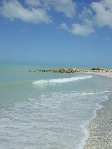
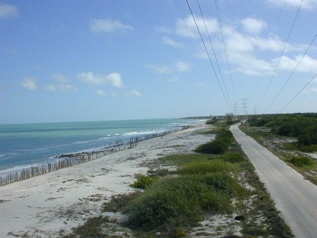
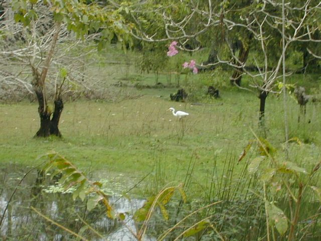
| Highlights: | This tour can be divided into five phases. The Yucatan: the charming, friendly Mayan people, ancient Mayan ruins and beautiful colonial towns and cities. Also, cenotes and ex-haciendas. The Gulf coast: emerald blue sea, isolated beaches. The wetlands: rivers, lagoons and marshes. Many, many birds. The cacao growing region: cacao trees and haciendas. Chocolate products. The mountains:Spectacular scenery, challenging riding. |
The Route
Itinerary
Click any day for the full description. Itineraries were always subject to minor changes.
WhenWhereDistanceHighlights
Day 0 — Sun Feb 14, 2010Meet in Mérida-
Yucatan cuisine, Colonial Architecture, Zocalo, Market, cArNaVaL!!! [more]
This is the big carnaval weekend in Merida! You might want to arrive a day or two early to check out the festivities! Mérida, the White City, was founded in 1542. Its architecture still shows an exquisite union of pre-Hispanic and European elements. During its Colonial era, this state capital was the most important city in the region, leaving such living monuments as the House of Montejo, Government Palace, and the main building of the University of Yucatan. Museums, theatres, handcrafts, nightclubs and beautiful parks have created a beautiful and vibrant city. Once you are settled into the hotel, we will meet and go out to experience Méridas delicious culinary tradition at one of Mérida's numerous restaurants.Day 1 — Mon Feb 15, 2010Mérida to Tekit80km
More cArNaVaL!!!, small towns quiet roads, cenotes [more]
We'll be passing through several small towns on very quiet backroads. There are interesting Mayan villages, small colonial towns and many cenotes. Tekit is a small Mayan-colonial town with a 16th century church, pleasant square and small market.Day 2 — Tues Feb 16, 2010Tekit to Sta. Elena73km
Last night of cArNaVaL!!! Important Mayapan post-classic Mayan ruins, more haciendas, quiet backroads, and cenotes, famous Uxmal [more]
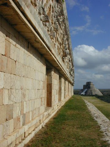
The adventure continues. We will stay on our quiet backroads and start the day with a visit to the very important Mayan site of Mayapan. Mayapan was the most important center of Mayan civilization leading up to the arrival of the Spanish. It was the capital of a Maya Confederation, which included Chichen Itza and Uxmal. After Mayapan, we continue on past more ex-haciendas and visiting more cenotes on our way to Ticul. Ticul is another charming little Mayan-colonial town with several old churches and an interesting market. Finally we make our way into the Puuc hills and down to little Santa Elena village. If time permits, you can visit the major Mayan ruins of Uxmal and be back in Santa Elena to enjoy the sunset from atop the huge fort-like church built on the hill of a ruined Mayan structure.Day 3 — Wed Feb 17, 2010Sta. Elena to Hopelchen73 km
Mayan villages, cave, ash Wednesday [more]
We will pass through several small colonial but predominantly Mayan villages. We may also explore Xtacumbilxunaan cave... but you have to be able to pronounce the name first! Hopelchen; the place of 5 wells (in Mayan), is a charming and friendly little town. The Mennonites that occupy much of the surrounding regions buy and sell their produce in the market here.Day 4 — Thurs Feb 18, 2010Hopelchen to Campeche (via Edzná, China)112 km
Edzna Mayan ruins, small villages, quiet roads [more]
We will visit the Mayan ruins of Edzná and pass through more small towns along quiet roads on the way to Campeche. This ends the first phase of our odyssey as Campeche has a very different character from Yucatan state and we are now on the gulf coast.Day 5 — Fri Feb 19, 2010Campeche-
Explore the walled, fortified colonial city, excellent market, waterfront [more]
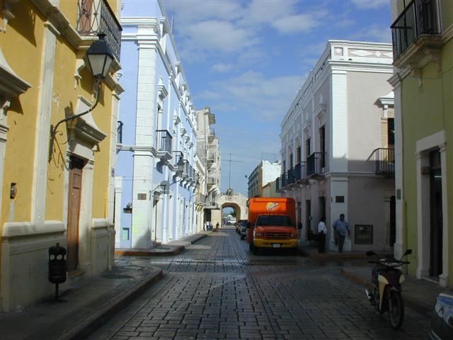
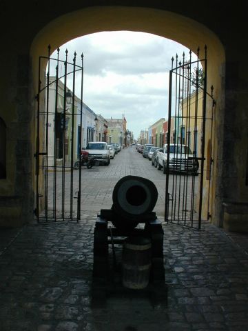
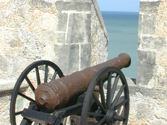
Campeche was once a Mayan trading village called Ah Kim Pech (Lord Sun Sheep-Tick). After 25 years of fierce Mayan resistance, the Spanish founded colonial Campeche in 1531, but later abandoned it due to Mayan hostility. Finally in 1540 Fransisco de Montejo the Younger gained sufficient control and founded a settlement that survived. It became a major port exporting timber, chicle, dyewoods, gold and silver to Europe. For nearly two centuries pirates terrorized Campeche, until finally in 1668, 3.5 metre thick ramparts were built. After 18 years of construction, a 2.5km hexagon incorporating eight strategically placed baluartes surrounded the city. Parts of the wall and the baluartes as well as a couple of forts north and south of the city still exist and make for an interesting tour. Also make sure to take in the excellent market early while it is in full swing. Besides a plethora of exotic fruits and vegetables, there is the friendly fish area of the market and some unique sweet treats that should not be missed.Day 6 — Sat Feb 20, 2010Campeche to Sabancuy133 km
Deserted beaches, charming friendly town, longest day [more]
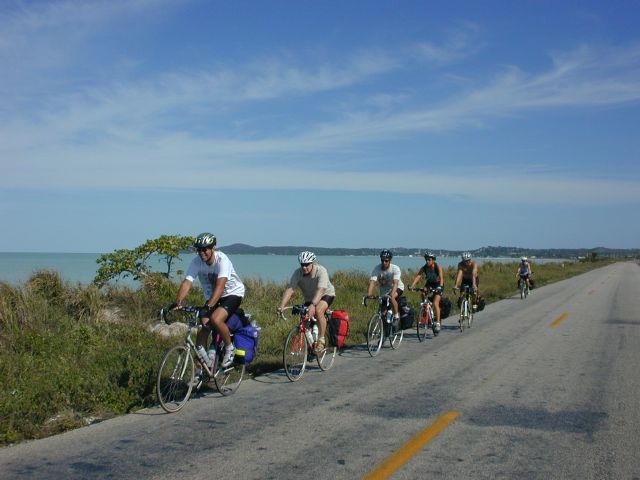
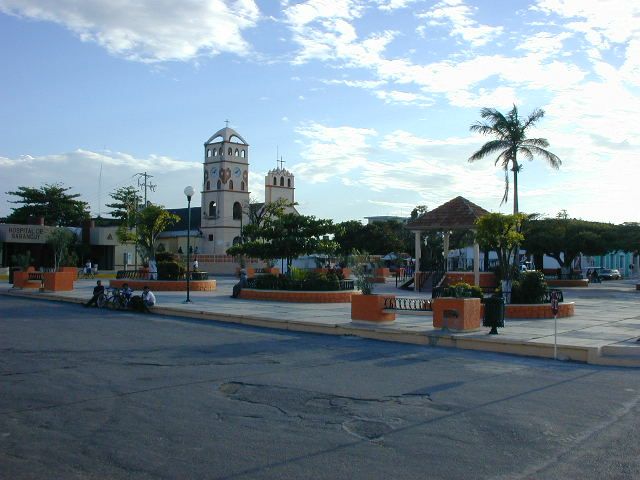
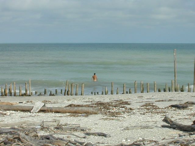
Welcome to the gulf coast, the second phase of our odyssey. We'll enjoy many great views of the sea as the road meanders and rolls alongside it, with some wonderfully isolated sea and rainforst stretches. A shrimp omelete in Champoton might be considered a highlight of the day, though there are many other breakfast options too. Before arriving in Sabancuy we'll stop for a little beach time and a nice dip to cool off. In Sabancuy we'll yet again be overwhelmed by the local people's friendliness and hospitality. In the evening you may choose to wonder around town or take in a movie at the very unlikely 350 seat movie theatre - it's a little large for the size of the town.Day 7 — Sun Feb 21, 2010Sabancuy to Ciudad del Carmen85 km
Gulf coast, isolated beaches, bustling exciting city [more]
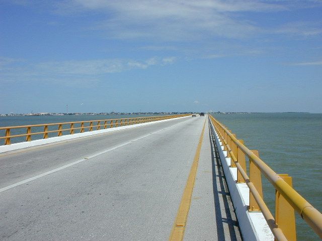
Today will be our last opportunity to swim in the sea, and we'll find a nice quiet beach to stop at - heck we'll be riding along the beach for most of the day! Ciudad del Carmen is a busy, bustling, exciting city used by Pemex, Mexico's national petrolium company, as a jumping off point to the many oil platforms in the gulf. To get to the city, we have to cross the long 3.2km bridge over a channel to the massive Laguna de Términos and onto Isla del Carmen.Day 8 — Mon Feb 22, 2010Ciudad del Carmen to Frontera93 km
small towns, villages, lagoons and wetlands and birds. [more]
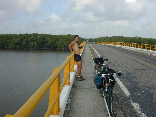
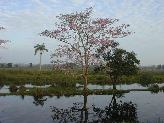
We start the morning by crossing an even longer, 4km bridge back to the mainland. Be on the look-out out for dolfins and manatees! Once again the landscape changes and now we are surrounded by wetlands as we pass through small quiet towns. We officially leave the Yucatan peninsula and cross over into the state of Tabasco for the last stretch of road to Frontera, an interesting lively town on a large river which is the confluence of three major rivers; the Grijalva, the Usumacinta and the San Pedro. Fishing is an industry here, and it's very much a port town. The market and the square will keep you entertained and very well fed.Day 9 — Tues Feb 23, 2010Frontera to Villahermosa82 km
The wetlands of the state of Tabasco. [more]
Crossing over the confluence of the Usumacinta (which forms much of the border with Guatemala) and the Grijalva rivers, we now head more inland only to once again meet up with the Grijalva in Villahermosa. This is a hot, crowded, untidy and exciting city.Day 10 — Wed Feb 24, 2010Villahermosa-
Amazing market. La Venta park; Olmec archeological museum, Tabasco zoo. Exciting bustling city. [more]
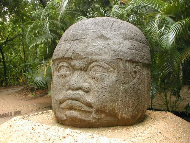
Villahermosa is an interesting if exhausting city to explore, for a break from the city you might want to head for Parque-Museo La Venta. The ancient (before 600 BC) Olmec city of La Venta was actually on an island in a river some 130km west of Villahermosa. Several enormous basalt Olmec heads (the largest weighs 24 tonnes and stands over 2m tall) and other artifacts were discovered between 1925 and 1940. When oil excavation threatened the site, the most significant finds were moved to thier current home in Villahermosa in Parque-Museo La Venta. There is also a zoo here with everything from crocodiles to jaguars to spider monkeys. It's truly worth a visit. Besides La Venta park, an often overlooked attraction is the incredible market. Well stocked with all varieties of cacao, pejelagarto (lizard fish), pozol (a corn and cacao drink), all manner of tamales, exotic produce and excellent eateries, you won't know where to turn first.Day 11 — Thurs Feb 25, 2010Villahermosa to Comalcalco67 km
Culinary route, turtle sanctuary, Comalcalco Mayan ruins [more]
Today's your chance to try pejelagarto (lizard fish) as well as a host of other regional typical food if you haven't already. Today we ride along a designated gastronomic, cultural and artisan route. We'll visit a turtle sanctuary outside of Nacajuca and finish by visiting ancient Comalcalco just outside of the modern day city. This ancient Mayan site is unique for being constructed of clay bricks and seashell mortar. The small modern city of Comalcalco itself is a bustling center with many excellent eating options including great tacos.Day 12 — Fri Feb 26, 2010Comalcalco to Cardenas45 km
Comalcalco market, cacao hacienda, cacao fermenter, cacao growing region [more]
Did I mention cacao? What? You don't know the difference between cacao, cocoa and chocolate? Well today you'll learn all about it using all your senses. It is truly fascinating... and quite tasty too. Before leaving Comalcalco to embark on this chocolate adventure however, we will have some time to check out the market. It has a great diversity of the local goods and is full of things you'll have never seen before.Day 13 — Sat Feb 27, 2010Cardenas to Pichucalco106 km
quiet backroads, entering the foothills [more]
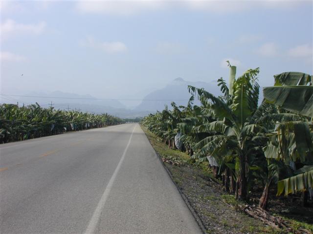
We cross into Chiapas state and Pichucalco is our first stop in the mountains, still at fairly low elevation. The mountains will be the final phase of our odyssey and today is a pleasant introduction.Day 14 — Sun Feb 28, 2010Pichucalco-
rest day [more]
Our last rest day before the final stretch. Pichucalco is known for the worlds ugliest church, or so says Discovery channel. Well, it is pretty ugly, but the town is otherwise very pretty, the architecture having transformed to suite the mountainous geography. There is an interesting market to visit and a little rest will help to prepare you for the final push into the mountains.Day 15 — Mon Mar 1, 2010Pichucalco to Tapilula53 km
mountains
mountains
mountains. Challenging climbing. Amazing views and scenery. Small villages and towns. [more]
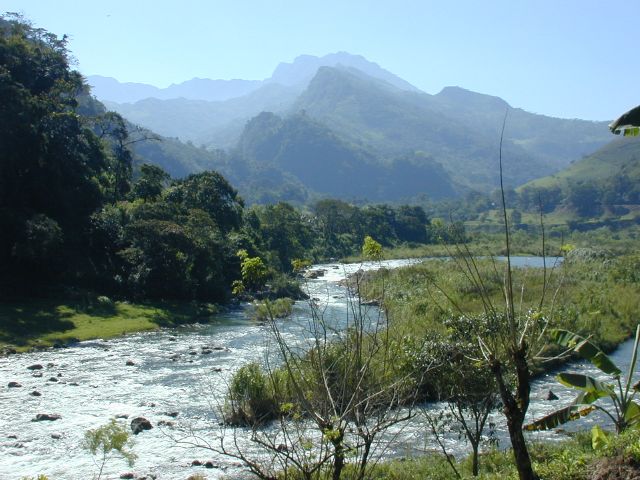
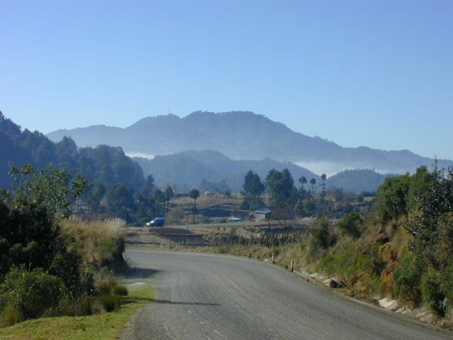
You'd better have a triple chainring on your bike for today and tomorrow. We're in for some very challenging steep climbs, with spectacular, rewarding views. Suddenly we find ourselves cycling in a canyon following the Puyacatengo river upstream. In Tapilula the children act as our ambassadors to this charming, friendly little colonial town. For a treat, try deepfried cheese stuffed in banana with cream on it! You deserve it.Day 16 — Tues Mar 2, 2010Tapilula to Jitotol52 km
mountains
mountains
Climbing higher into the mountains and yet more spectacular views. Small villages and towns. [more]
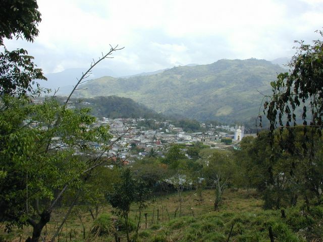
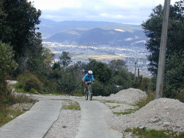
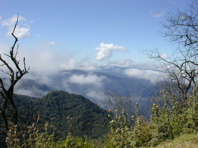
Resume climbing. It always seems to be foggy here, but perhaps it'll clear up and we can see what we've climbed over the last day and a half when we reach the lookout at the highest point of the day, 1800m. If the fog causes us to forfeit our distant views then we can instead marvel at how the fog oozes over the mountain pass from one series of valleys into another - it's a magical sight. Descending from the pass we meander our way along the sides of mountains to Jitotol, another unassuming quiet little highland town.Day 17 — Wed Mar 3, 2010Jitotol to San Cristóbal73 km
mountains
mountains
Spectacular Mountain Scenery, Villages, the Historic Old Town [more]
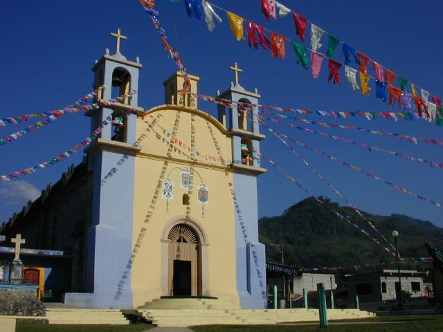
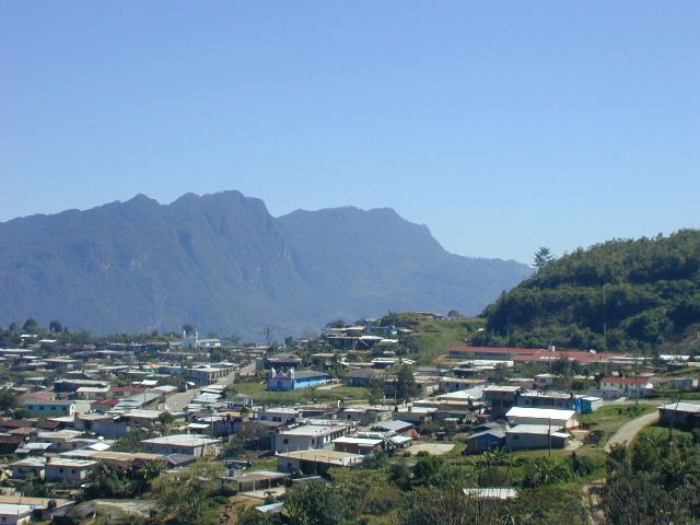
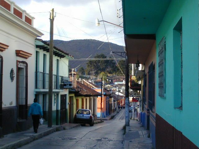
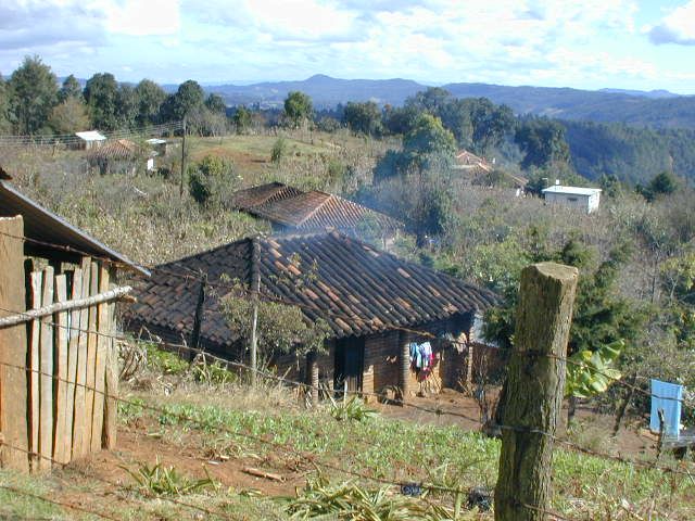
Even though the last ride of our tour is only 73km long, it is probably the most challenging and awe-inspiring stage of our journey. From sea level in Mérida the tour ends today at 2100m altitude in San Cristóbal de la Casas. On the way today we'll follow the winding road up and down and around mountain passes and valleys, pine forests and indigenous villages. This is Tzotzil-Maya country.Day 18 — Thurs Mar 4, 2010Around San CristóbalOptional 30-60 km
mountains
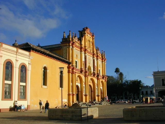
In San Cristóbal, the zocalo, or main square in the center of town, is a good starting point for exploring. From there you can visit the many churches and other historical buildings in the town's historic core. The mercado, San Cristóbal's daily food market is also well worth a visit. Around Santo Domingo church you will be able to buy authentic handcrafts at the artisan market.
At night, cafes and restaurants host live music into the night. There is also cinema with foreign and spanish language films, and it's rare for a week to go by without some kind of fiesta taking place.
mountains
Colonial Town, Markets - explore San Cristóbal [more]
You may explore San Cristóbal or ride to one or more nearby6 Maya villages and mountains.In San Cristóbal, the zocalo, or main square in the center of town, is a good starting point for exploring. From there you can visit the many churches and other historical buildings in the town's historic core. The mercado, San Cristóbal's daily food market is also well worth a visit. Around Santo Domingo church you will be able to buy authentic handcrafts at the artisan market.
At night, cafes and restaurants host live music into the night. There is also cinema with foreign and spanish language films, and it's rare for a week to go by without some kind of fiesta taking place.
Day 19 — Fri Mar 5, 2010San Cristóbal to Mérida-
Leave in the afternoon for Mérida, or stay a little longer! [more]
You will leave San Cristóbal on an overnight 1st class or deluxe bus for the trip back to Mérida. That is of course, unless you've fallen under the spell of this town like so many others and decide to stay a little longer.Day 20 — Sat Mar 6, 2010Mérida to home-
Morning arrival in Mérida. Stay a little longer or fly home. [more]
Arrive in Mérida in the morning and box your bike up for your flight home, or stay and enjoy the culture for a few more days.Photo Album