¡El Tour
Budget Bicycle Tours in Mexico
www.BikeMexico.com
The Complete Archive · 2000–2020

Complete Yucatan Adventure 2007
Season 2006–2007 · all tours that season
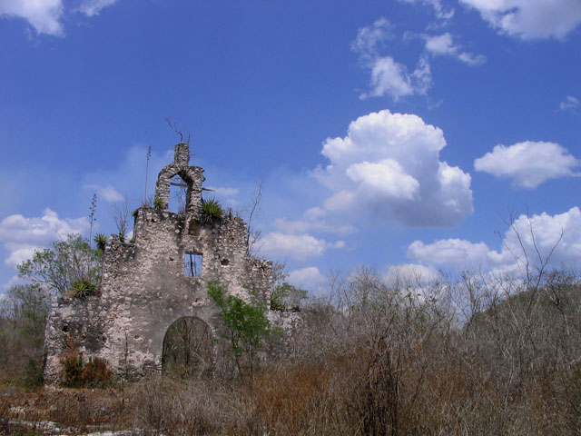
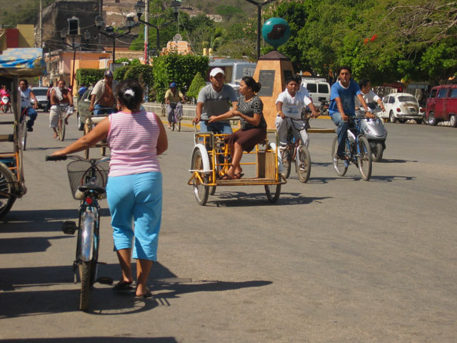
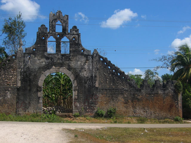
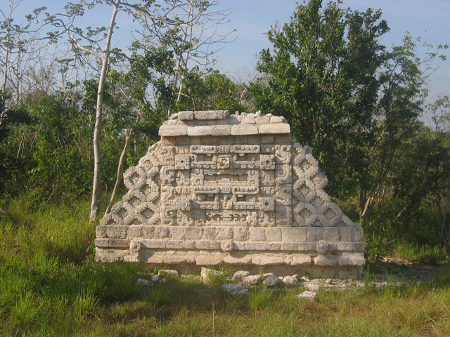
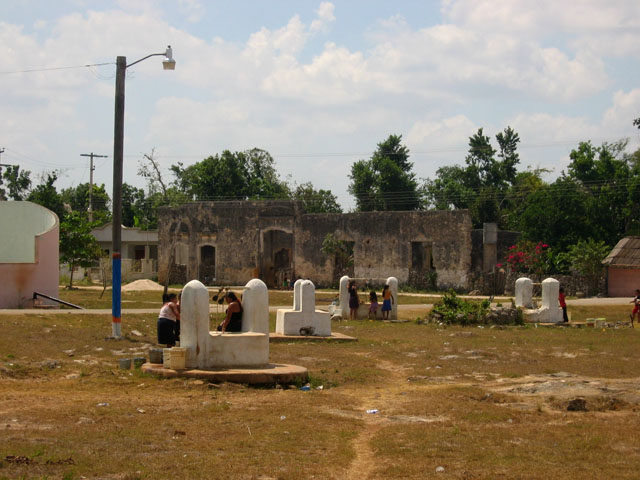
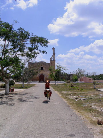
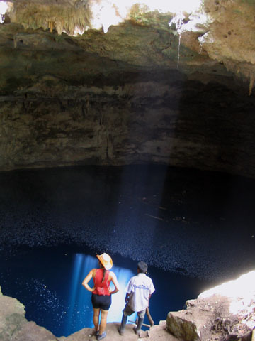
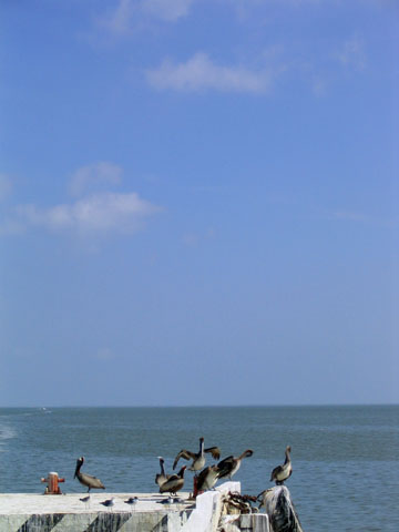
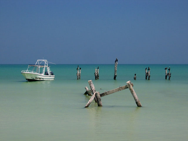
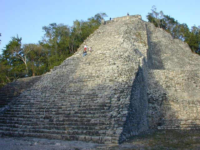
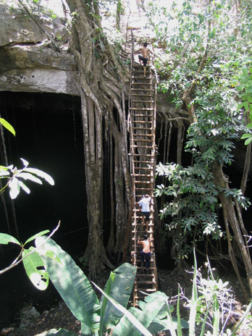
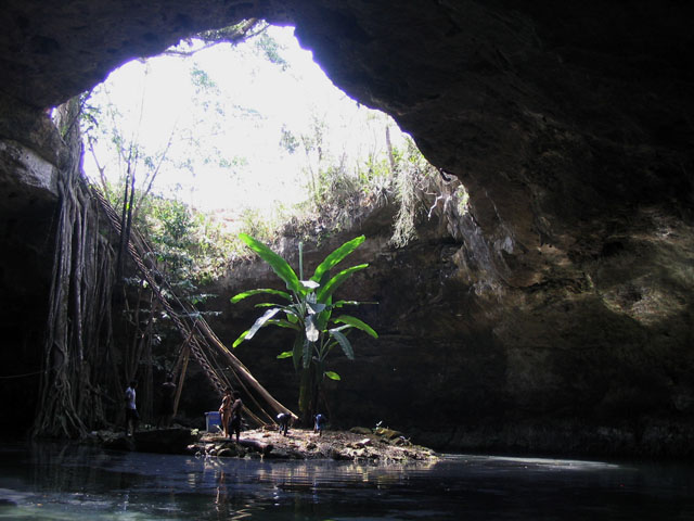
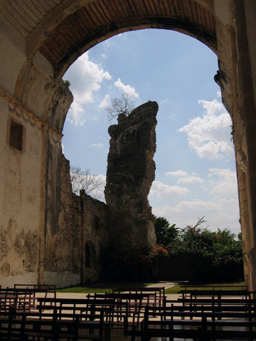
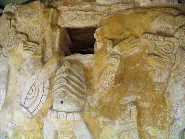
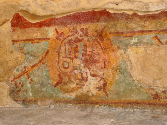
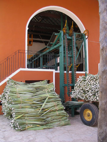
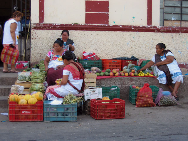
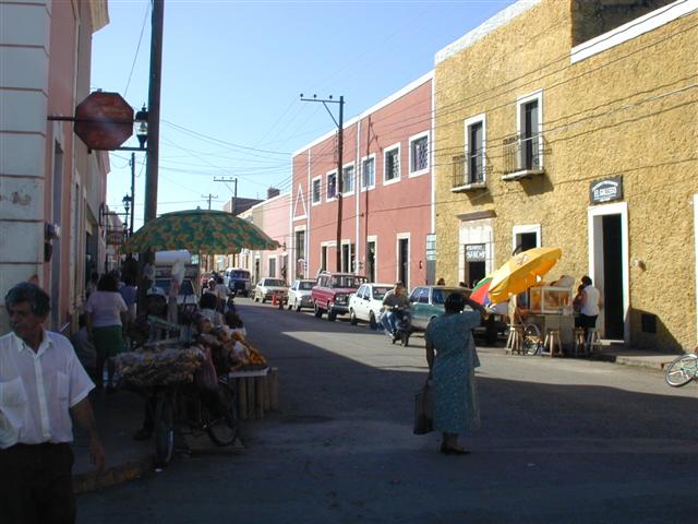
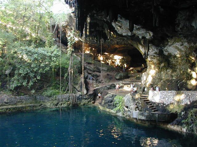
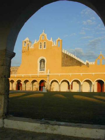
On this 3 week REGULAR - CHALLENGE difficulty tour we start and end in Mérida. We will see most of what the northern Yucatan has to offer; cenotes, Mayan ruins, beaches, the gulf coast, wetland birds and flamingos, haciendas, friendly Mayan villages and beautiful colonial towns and cities, and of course the most pleasant quiet roads to cycle on. Oh and there's also CARNAVAL!!!
Archive note: NEW 3-week tour.
| Dates: | Wed Feb 7, 2007 to Thurs Mar 1 2007 (3 weeks - 17 cycling days) |
| Distances: | Average/day: 94 km Maximum/day: 126 km Total Approx: 1605 km |
| Route Type: | REGULARRegular DifficultyA good level of fitness is required. Distances average around 50 - 80 km per day (depending on hills), and are always less than 120 km. Roads range from flat to very hilly. We may climb up to 1500 metres on a hard day.CHALLENGEChallenge DifficultyYou need to have excellent fitness and good cycling experience. Distances generally average about 70 - 110 km per day (depending on hills), and are always less than 150 km. Roads range from flat to Sierra Madre (mountainous!). We may climb up to 3000 metres in a day.WeatherThe Weather: Yucatan PeninsulaThe Yucatan's best weather is during our winter months. From November till March the temperature hovers in the mid 20's to the mid 30's (celcius) with sunny clear skies. Humidity levels can be high as we head inland but a warm steady breeze and the occasional but rare tropical thunderstorm will keep you feeling refreshed.RoadThe Road: Yucatan PeninsulaThe Yucatan's roads are considered the finest in Mexico. They are generally in excellent condition with even, paved surfaces. Some stretches of our route also include a paved shoulder. The route meanders along flat terrain with the occasional rolling section. In most places traffic is light to non-existent. Depending on the time of day, roads may be busy near towns such as Cancun, Valladolid and Merida, however drivers are generally respectful of cyclists and will give you as much room as possible.LandThe Land: Yucatan PeninsulaThe Yucatan peninsula at the south eastern tip of Mexico is comprised of three states, Campeche, Yucatan, and Quintana Roo. The peninsula is a massive, flat carbonate - limestone shelf formed by prehistoric high sea levels. Too porous to support a river system, fresh water accumulates underground forming an extensive subterranean river network. Where the erosive process has broken through the earth's surface, cenotes (se-no-tes; limestone sinkholes or pools) have formed. Erosion has also formed numerous caves, some of them enormous and accessible to tourists. The peninsula's landscape is covered by thorn forest in the north and rain jungle in the south. |
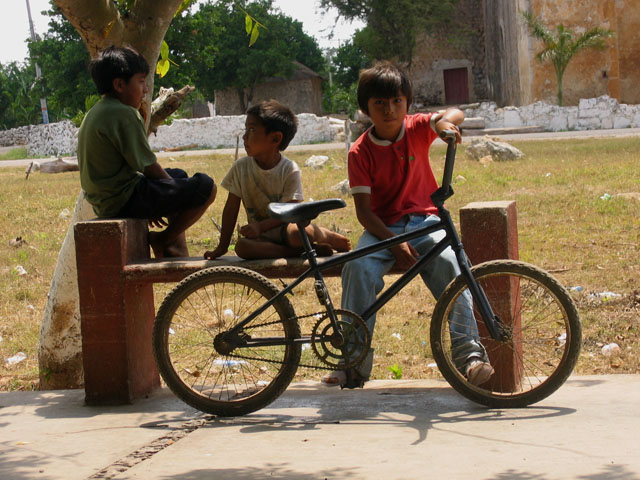
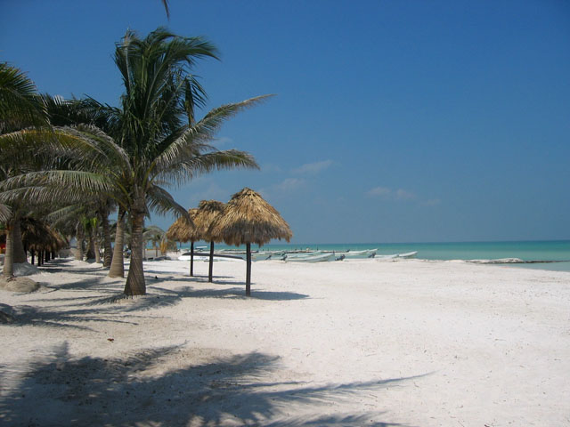
| Highlights: | Real Mexican-Yucatecan culture. Friendly small Mayan towns, lots of Mayan ruins, lots of cenotes and haciendas, fishing villages, quiet roads, beaches, beautiful gulf coast. Colonial towns and cities, art, food, incredible markets. Flamingos. And... CARNAVAL!!! |
| Price: | US$1,510 (that year's published approximate total land cost) |
| Riders: | 6 cyclists (from the company client database) |
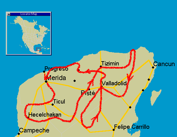
The Route
What it cost that season
| Guides' Fee | + Accommodations | + Food & Drink | + Misc. | = Approx. Total Land Cost |
|---|---|---|---|---|
| $730 | $310 | $270 | $200 | $1,510 |
All figures in US dollars, as published at the time. Riders paid their own accommodation, food and entrance fees on the road — the Guides' Fee was the only charge from ¡El Tour. Full history: price of The Complete Yucatan Adventure through the years.
Photo Album