
¡El Tour
Οικονομικά Ποδηλατικά Τουρ στο Μεξικό
www.BikeMexico.com
Το Πλήρες Αρχείο · 2000–2020

Yucatan to the Clouds 2006
Σεζόν 2005–2006 · όλα τα τουρ εκείνης της σεζόν
Τα έγγραφα που διατηρούνται σε αυτή τη σελίδα — περιγραφές διαδρομών, προγράμματα, λεζάντες φωτογραφιών, ανταποκρίσεις και κριτικές ποδηλατών — εμφανίζονται όπως ακριβώς γράφτηκαν αρχικά, στα αγγλικά.
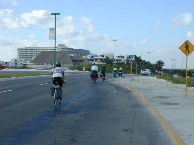
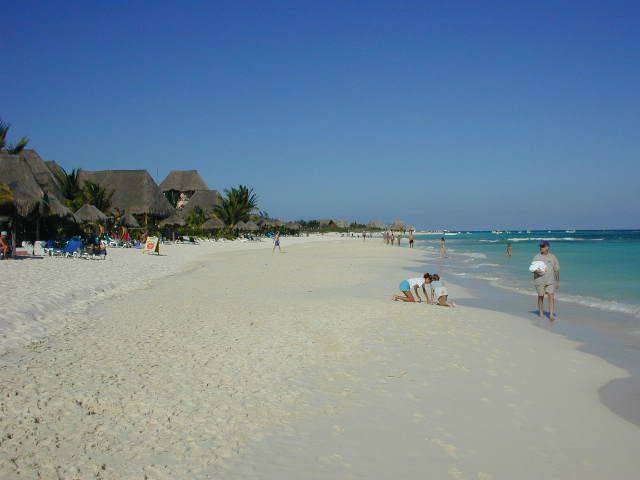
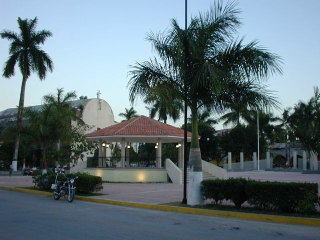
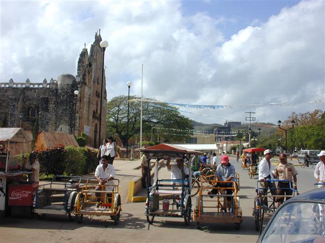
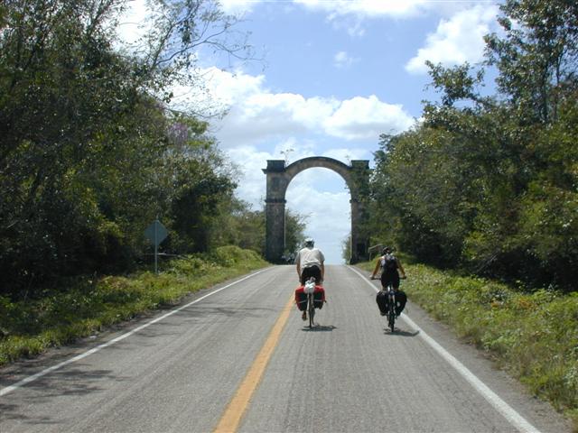
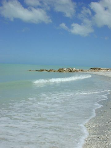
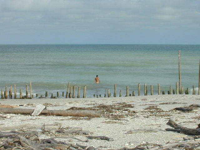
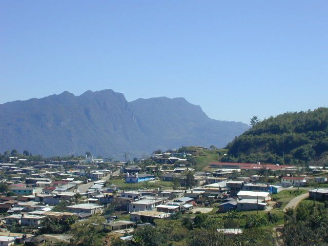
Η μεγάλη διαδρομή. Σε αυτό το τουρ ΚΑΝΟΝΙΚΗΣ - ΑΠΑΙΤΗΤΙΚΗΣ δυσκολίας καλύπτουμε περίπου 1300km σε 3½ εβδομάδες, από το Κανκούν ως το San Cristóbal, Chiapas. Ξεκινάμε με χαλαρό πετάλι σε εντελώς επίπεδο έδαφος, περνάμε σταδιακά σε κυματιστή εξοχή και στο τέλος ανηφορίζουμε στα 2200m στην καρδιά της συναρπαστικής Sierra Madre της Chiapas. Στα αξιοθέατα ξεχωρίζουν οι παραλίες της Καραϊβικής, σπήλαια και cenotes, ερείπια των Μάγια, μικρά φιλόξενα χωριά, αποικιακές πόλεις και μαγευτικά βουνά. Κι ως επιπλέον δώρο, θα ζήσουμε το Carnaval στην Campeche!
Σημείωση αρχείου: Προγραμματισμένη ώστε να συμπέσει με το carnaval (η March 1 ήταν Τετάρτη της Τέφρας).
| Ημερομηνίες: | Tues Feb 14, 2006 to Fri Mar 10, 2006 (3½ weeks - 17 cycling days) |
| Αποστάσεις: | Average/day: 84km Maximum/day: 133km Total Approx: 1421km |
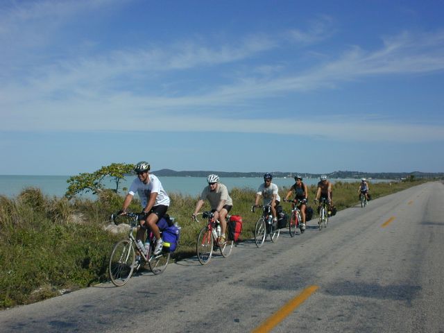
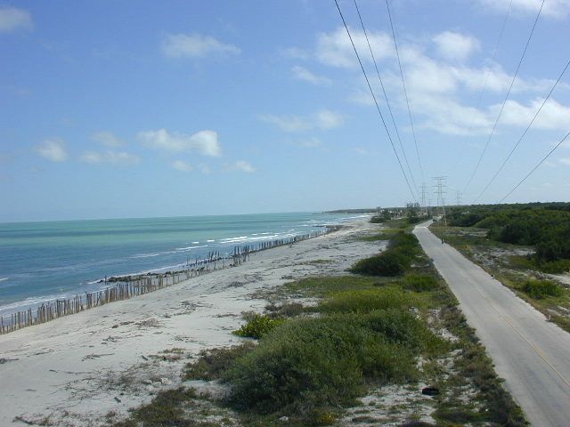
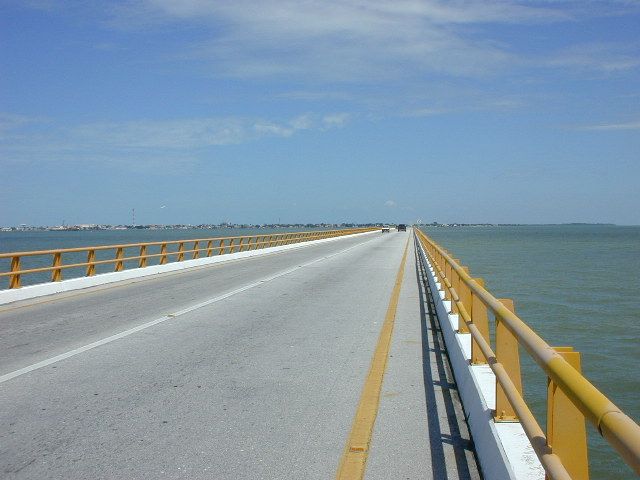
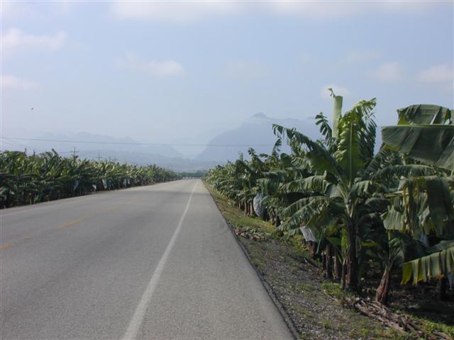
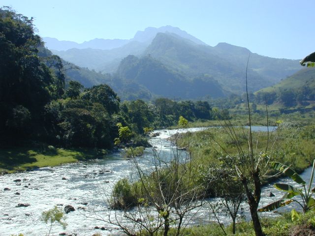
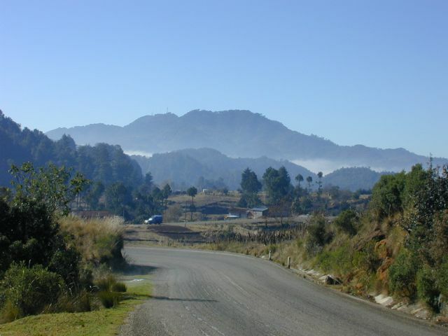
| Τύπος διαδρομής: | CHALLENGEChallenge DifficultyYou need to have excellent fitness and good cycling experience. Distances generally average about 70 - 110 km per day (depending on hills), and are always less than 150 km. Roads range from flat to Sierra Madre (mountainous!). We may climb up to 3000 metres in a day.Yucatan: WeatherThe Weather: Yucatan PeninsulaThe Yucatan's best weather is during our winter months. From November till March the temperature hovers in the mid 20's to the mid 30's (celcius) with sunny clear skies. Humidity levels can be high as we head inland but a warm steady breeze and the occasional but rare tropical thunderstorm will keep you feeling refreshed.RoadThe Road: Yucatan PeninsulaThe Yucatan's roads are considered the finest in Mexico. They are generally in excellent condition with even, paved surfaces. Some stretches of our route also include a paved shoulder. The route meanders along flat terrain with the occasional rolling section. In most places traffic is light to non-existent. Depending on the time of day, roads may be busy near towns such as Cancun, Valladolid and Merida, however drivers are generally respectful of cyclists and will give you as much room as possible.LandThe Land: Yucatan PeninsulaThe Yucatan peninsula at the south eastern tip of Mexico is comprised of three states, Campeche, Yucatan, and Quintana Roo. The peninsula is a massive, flat carbonate - limestone shelf formed by prehistoric high sea levels. Too porous to support a river system, fresh water accumulates underground forming an extensive subterranean river network. Where the erosive process has broken through the earth's surface, cenotes (se-no-tes; limestone sinkholes or pools) have formed. Erosion has also formed numerous caves, some of them enormous and accessible to tourists. The peninsula's landscape is covered by thorn forest in the north and rain jungle in the south.Chiapas: WeatherThe Weather: ChiapasChiapas is best enjoyed during the winter months - harldy a day goes by without clear blue skies and sunshine. Because of the altitude in the mountains, the nights occasionally dip down to freezing, but the days quickly heat up and you'll be changing back into your shorts by late morning. It's pleasantly dry in the winter, and most of the rainfall necessary to keep the impressive jungles and forests green comes in the summer.RoadThe Road: ChiapasThe roads in Chiapas are generally in excellent condition. Our route in Chiapas is hilly and mountainous with long climbs and descents as well as numerous switchbacks. In most places, traffic is light to non-existent and consists mostly of taxis, small trucks and buses. At certain times of day the roads are busy in and near San Cristobal, however drivers are generally respectful of cyclists and will give you as much room as possible.LandThe Land: ChiapasChiapas is a tangle of majestic pine-clad mountains and humid dense jungle. Most of the country's natural resources are right here in the country's poorest state. Its mountains offer unbelievable views and splendid rivers and waterfalls flow out of them. |
| Κορυφαία σημεία: | Challenging cycling. Beaches, ruins, small towns, history, colonial towns, mountains, waterfalls. A diverse cross-section of Mexico. cArNaVaL in Campeche!!! |
| Τιμή: | US$1,295 (το δημοσιευμένο εκείνης της χρονιάς κατά προσέγγιση συνολικό επίγειο κόστος) |
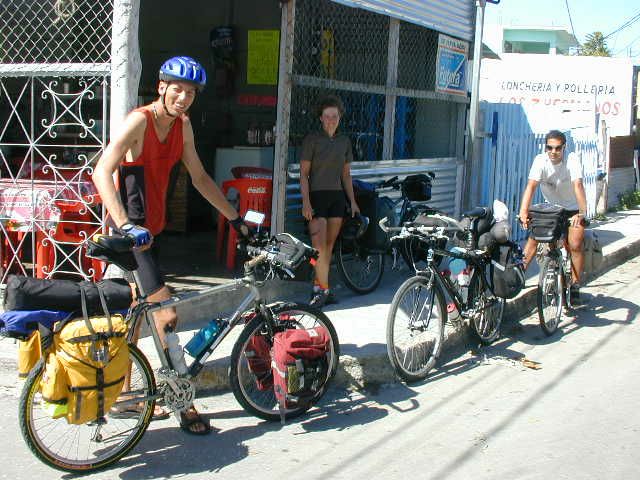
| Ποδηλάτες: | 7 ποδηλάτες (από τη βάση δεδομένων πελατών της εταιρείας) |
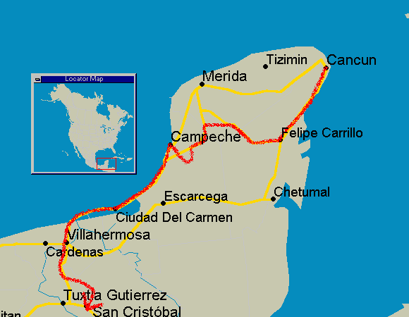
Η διαδρομή
Πρόγραμμα
Τα προγράμματα υπόκειντο πάντα σε μικρές αλλαγές.
ΠότεΠούΑπόστασηΚορυφαία σημεία
Day 0Meet in Cancun-Beaches, Bars, Discos, Clubs, Cuisine
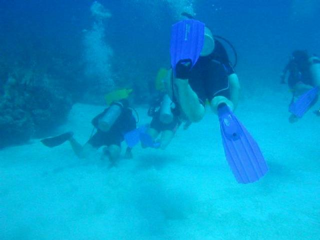
Day 1Cancun to Playa del Carmen88 kmBeach, Scuba-Diving, Snorkeling
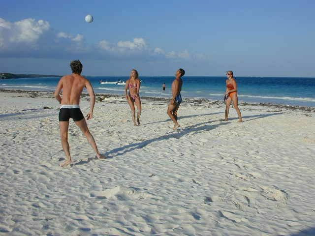
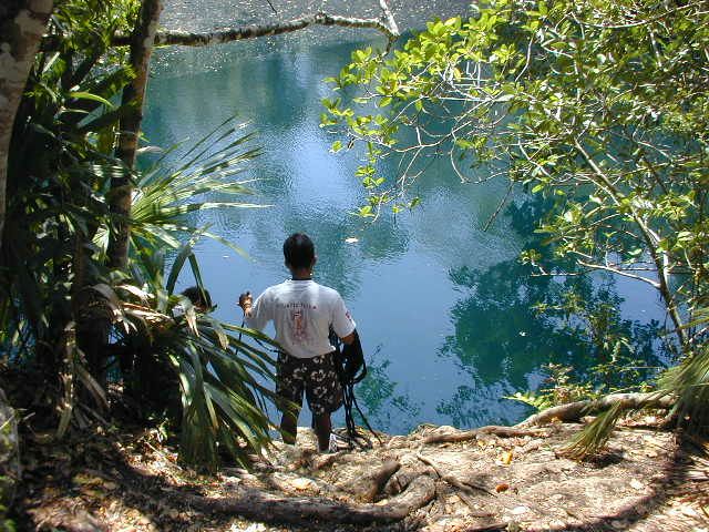
Day 2Playa del Carmen to Tulum61-74 kmCenotes, caves, beach, camping possible
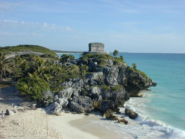
Day 3Tulum-Beach, snorkel, Scuba-Diving, Tulum ruins, camping possible
Day 4Tulum to Felipe Carillo Puerto105 kmCenote, Sanctuary of the talking cross, Whipping Fountain, Mercado
Day 5Felipe Carillo Puerto to Jose Maria Morelos80 kmSmall towns.
Day 6JM Morelos to Tekax93 kmField of Aloe-Vera, rolling hills, charming towns.
Day 7Tekax-Rest day
Day 8Tekax to Sta. Elena via Ruta Puuc70 kmLoltún cave, Mayan ruins and more Mayan ruins
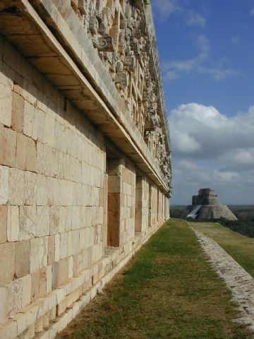
Day 9Sta. Elena to Ticul via Uxmal Ruins52 kmAlmost a rest day. Famous Uxmal Mayan ruins
Day 10Ticul to Hopelchen88 kmMayan villages, cave
Day 11Hopelchen to Campeche (via Edzná, China)116 kmMayan ruins, small villages, quiet roads, cArNaVaL!
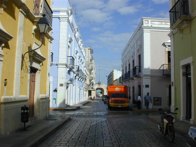
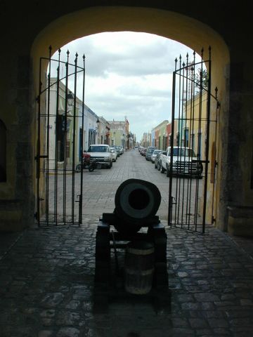
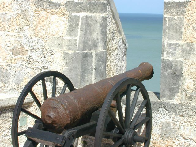
Day 12Campeche-Explore the walled, fortified colonial city. More Carnaval.
Day 13Campeche to Sabancuy133 kmDeserted beaches, charming friendly town, yet more carnaval.
Day 14Sabancuy to Ciudad del Carmen85 kmGulf coast, deserted beaches, bustling exciting city
Day 15Ciudad del Carmen to Frontera97 kmQuiet roads, small towns and villages.
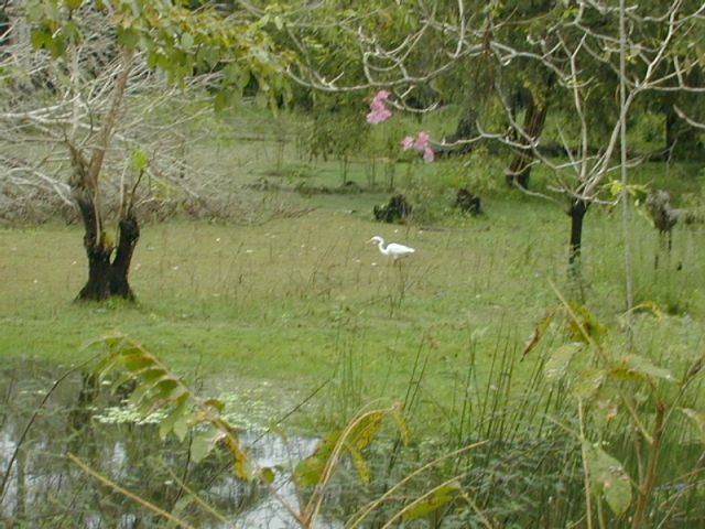
Day 16Frontera to Villahermosa83 kmThe wetlands of the state of Tabasco.
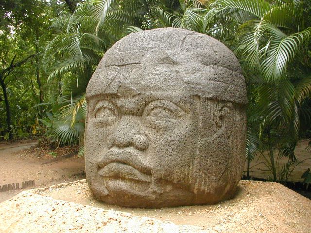
Day 17Villahermosa-La Venta park; Olmec archeological museum, Tabasco zoo. Exciting bustling city.
Day 18Villahermosa to Pichucalco78 kmA small town in the foothills of the mountains of Chiapas state.
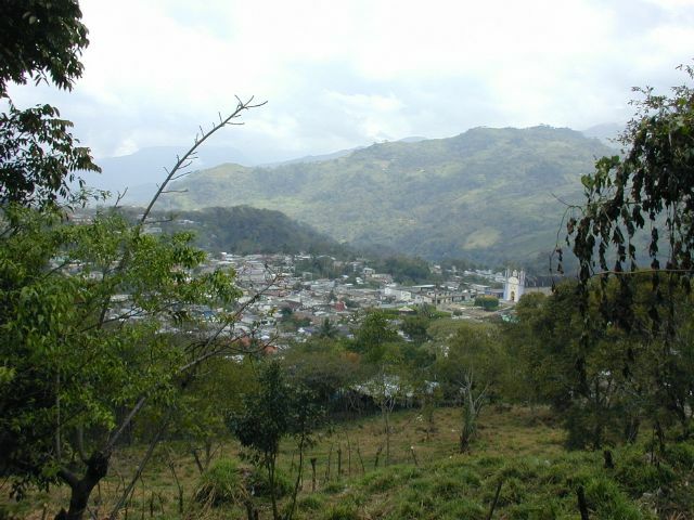
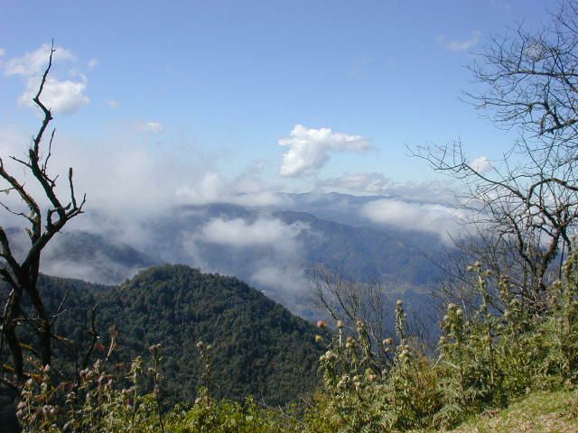
Day 19Pichucalco to Tapilula53 km mountainsIn the heart of the mountains. Challenging climbing. Amazing views and scenery. Small villages and towns.
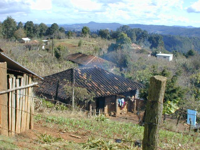
Day 20Tapilula to Jitotol52 km mountainsClimbing higher into the mountains and yet more spectacular views. Small villages and towns.
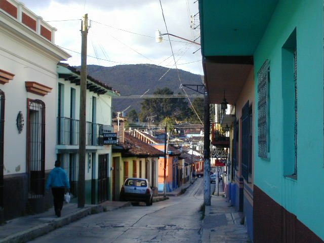
Day 21Jitotol to San Cristóbal74 km mountainsSpectacular Mountain Scenery, Villages, the Historic Old Town
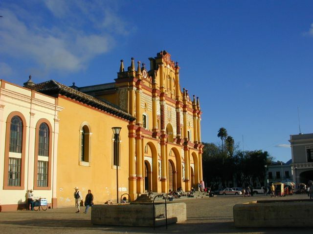
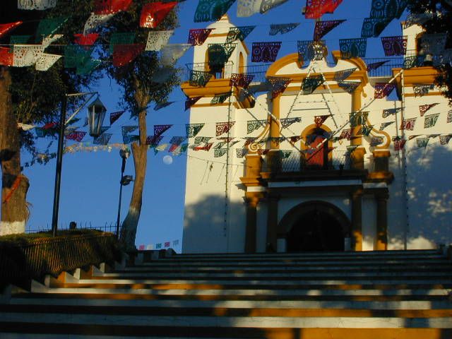
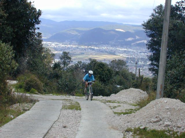
Day 22Around San CristóbalOptional 30-60 km mountainsColonial Town, Markets - explore San Cristóbal
Day 23San Cristóbal to Cancun-Leave in the afternoon for Cancun, or stay a little longer!
Day 24Cancun to home-Morning arrival in Cancun. Stay a little longer or fly home.
Τι κόστιζε εκείνη τη σεζόν
| Αμοιβή Ξεναγών | + Διαμονή | + Φαγητό & ποτό | + Διάφορα | = Κατά προσέγγιση συνολικό επίγειο κόστος |
|---|---|---|---|---|
| $750 | $280 | $290 | $200 | $1,520 |
Όλα τα ποσά σε δολάρια ΗΠΑ, όπως δημοσιεύονταν την εποχή εκείνη. Οι ποδηλάτες πλήρωναν οι ίδιοι στον δρόμο τη διαμονή, το φαγητό και τα εισιτήρια εισόδου — η Αμοιβή Ξεναγών ήταν η μοναδική χρέωση της ¡El Tour. Πλήρες ιστορικό: η τιμή του Yucatan to the Clouds μέσα στα χρόνια.
Φωτογραφικό άλμπουμ