
¡El Tour
Günstige Radtouren in Mexiko
www.BikeMexico.com
Das vollständige Archiv · 2000–2020

Yucatan's Beaches & Ruins 2006
Saison 2005–2006 · alle Touren dieser Saison
Die auf dieser Seite bewahrten Dokumente — Routenbeschreibungen, Reisepläne, Bildunterschriften, Depeschen und Fahrerbewertungen — erscheinen so, wie sie ursprünglich verfasst wurden: im englischen Original.
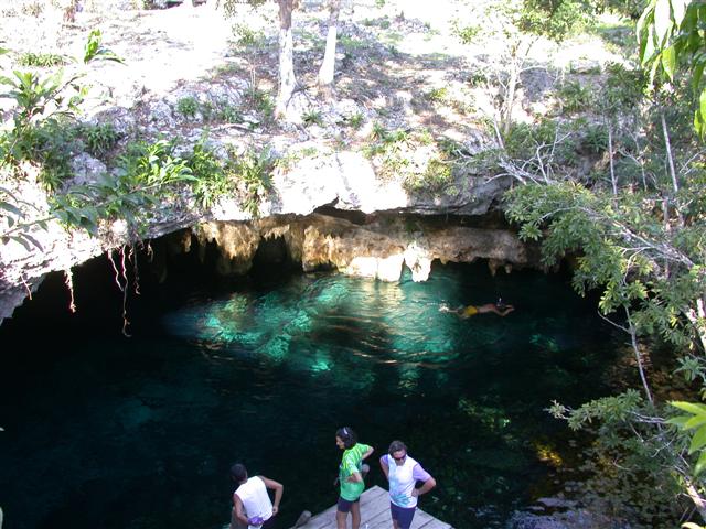
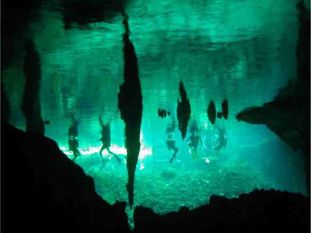
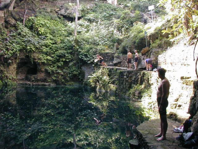
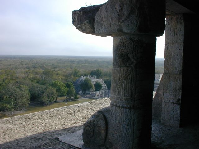
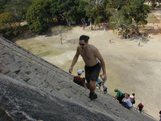
Von Cancun ins koloniale Mérida, mit jeder Menge Stränden, Nachtleben, Maya-Ruinen und Kultur von gestern und heute am Weg. Wir starten die mexikanische Karibikküste hinunter und arbeiten uns dann ins Landesinnere und hinauf zur Golfküste vor. Außerdem besuchen wir viele Cenoten, Höhlen und bezaubernde kleine Orte. Dies ist eine Tour mit Schwierigkeitsgrad LITE.
| Termine: | Tues Jan 10, 2006 to Tues Jan 24, 2006 (2 weeks - 10 cycling days) |
| Distanzen: | Average/day: 61km Maximum/day: 75-96km Total Approx: 606km |
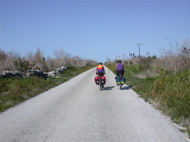
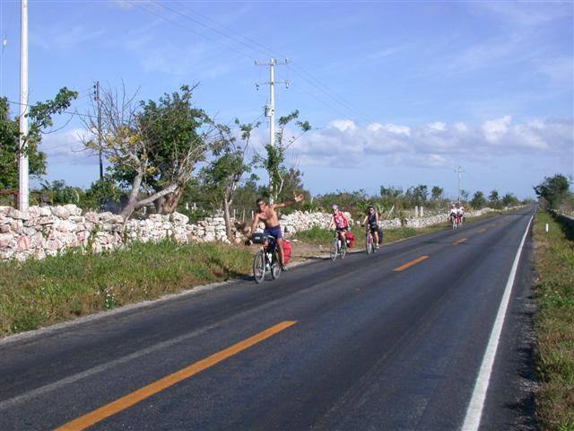
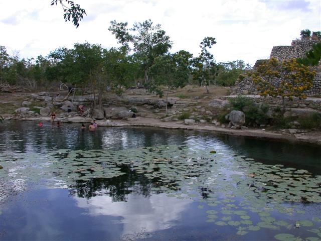
| Routentyp: | LITELite DifficultyYou must have a basic level of fitness and at least aspire to be able to complete the distances in this tour (we know you can!). Distances average around 60 km, and are always less the 100 km per day. Roads are flat and generally not demanding.WeatherThe Weather: Yucatan PeninsulaThe Yucatan's best weather is during our winter months. From November till March the temperature hovers in the mid 20's to the mid 30's (celcius) with sunny clear skies. Humidity levels can be high as we head inland but a warm steady breeze and the occasional but rare tropical thunderstorm will keep you feeling refreshed.RoadThe Road: Yucatan PeninsulaThe Yucatan's roads are considered the finest in Mexico. They are generally in excellent condition with even, paved surfaces. Some stretches of our route also include a paved shoulder. The route meanders along flat terrain with the occasional rolling section. In most places traffic is light to non-existent. Depending on the time of day, roads may be busy near towns such as Cancun, Valladolid and Merida, however drivers are generally respectful of cyclists and will give you as much room as possible.LandThe Land: Yucatan PeninsulaThe Yucatan peninsula at the south eastern tip of Mexico is comprised of three states, Campeche, Yucatan, and Quintana Roo. The peninsula is a massive, flat carbonate - limestone shelf formed by prehistoric high sea levels. Too porous to support a river system, fresh water accumulates underground forming an extensive subterranean river network. Where the erosive process has broken through the earth's surface, cenotes (se-no-tes; limestone sinkholes or pools) have formed. Erosion has also formed numerous caves, some of them enormous and accessible to tourists. The peninsula's landscape is covered by thorn forest in the north and rain jungle in the south. |
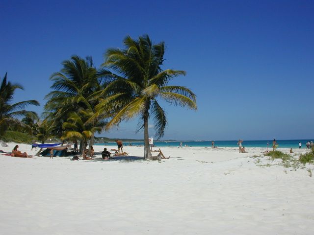
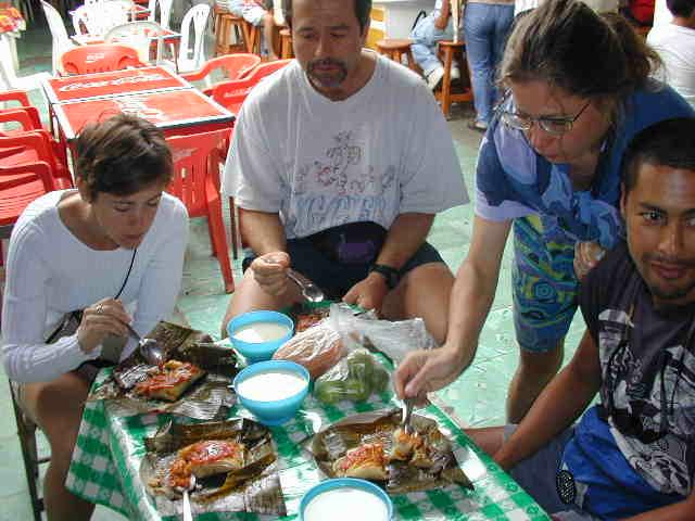
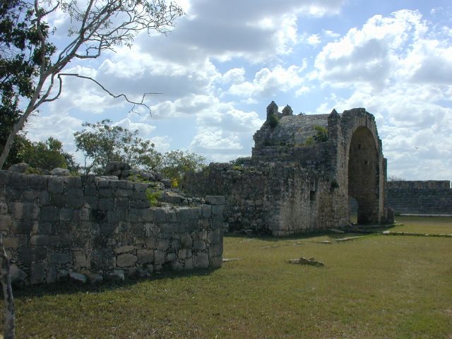
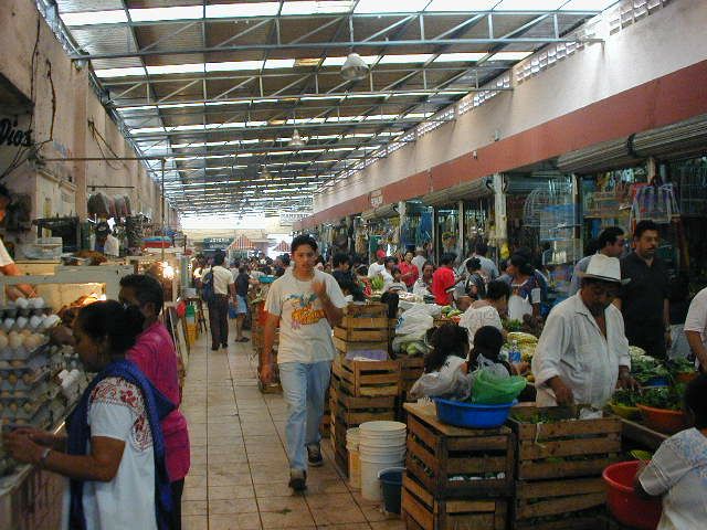
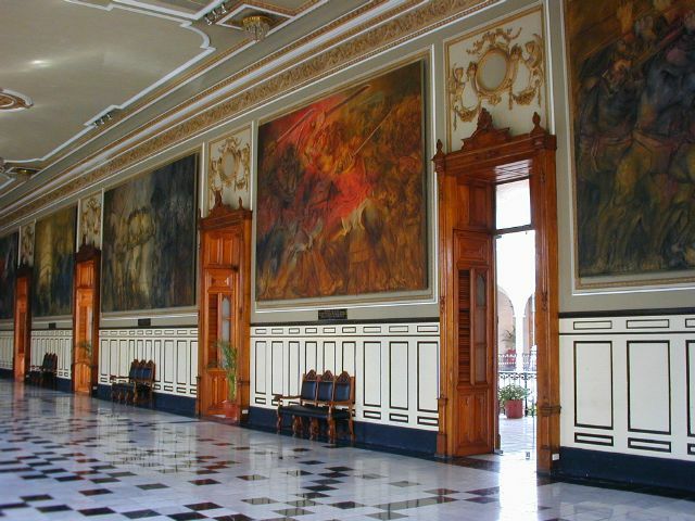
| Highlights: | Real Mexican-Yucatecan culture. 'Mayan Riviera' on the Caribbean coast. Small towns, ruins, cenotes, fishing villages, quiet roads, beaches. Mérida; bustling city, colonial architecture, art, food, market. |
| Preis: | US$935 (die in jenem Jahr veröffentlichten ungefähren Gesamtkosten vor Ort) |
| Teilnehmer: | 8 Radfahrer (aus der Kundendatenbank des Unternehmens) |
Die Route
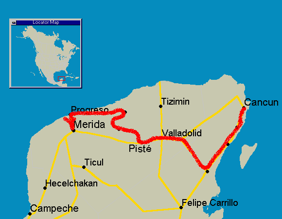
Reiseverlauf
Kleinere Änderungen am Reiseverlauf blieben immer vorbehalten.
WannWoDistanzHighlights
Day 0Meet in Cancun-Hotel Zone (Beaches, Bars, Discos, Clubs), Mainland Town
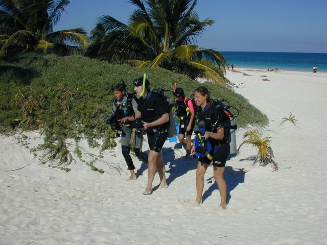
Day 1Cancun to Puerto Morelos53 kmSnorkeling, Scuba-Diving, Beach, Camping Possible
Day 2Puerto Morelos to Playa del Carmen37 kmBeach, Scuba-Diving, Snorkeling
Day 3Playa del Carmen to Tulum61-74 kmCenotes, caves, beach, camping possible
Day 4Tulum-Beach, snorkel, Scuba-Diving, Tulum ruins, camping possible
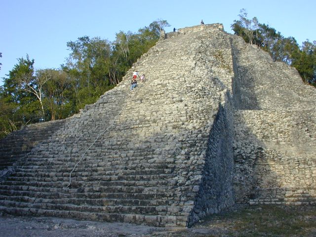
Day 5Tulum to Cobá55 kmMayan Ruins, Cenotes, Quiet Small Town
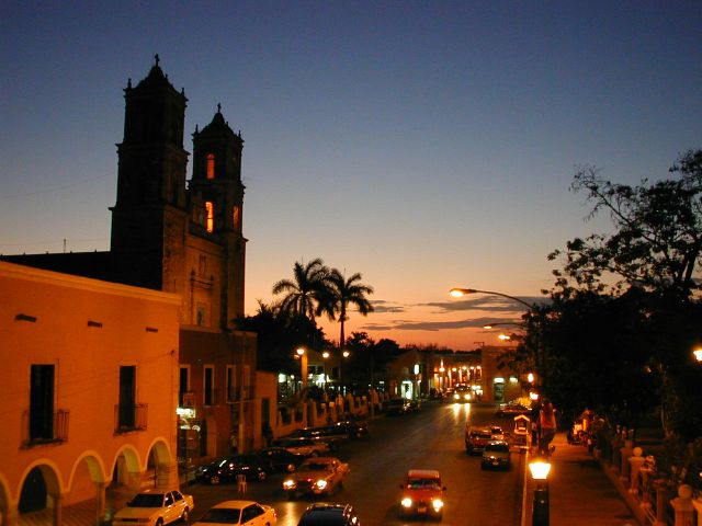
Day 6Cobá to Valladolid62 kmCenote Zací, Zocalo, Churches, Parks, Market
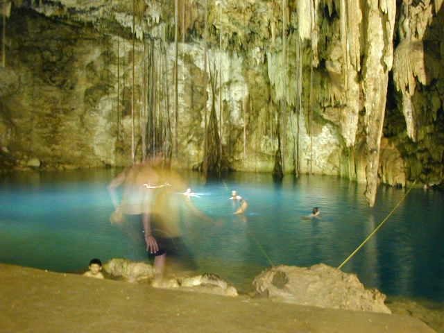
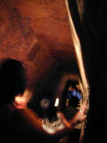
Day 7Valladolid to Pisté (Chichén-Itzá)50 kmCenote X-Kekén near Dzitnup, Balancanchen Caves
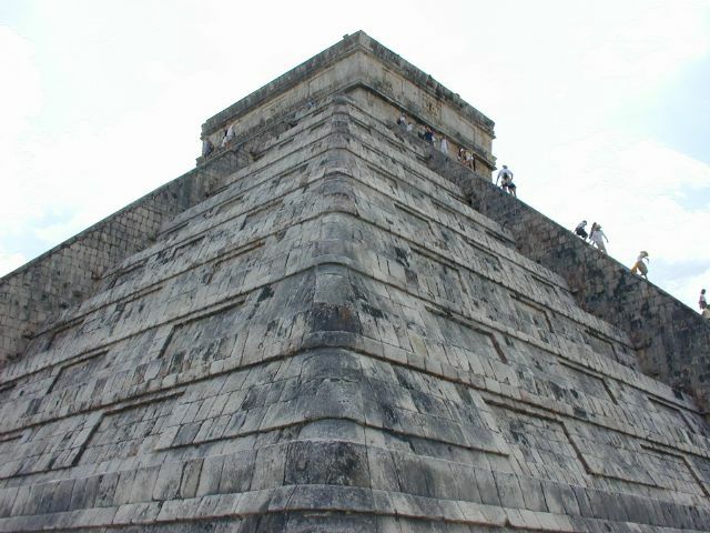
Day 8Pisté (Chichén-Itzá)-Chichén-Itzá Ruins
Day 9Pisté to Izamal (via Dzitas, Tunkas and Stilpech)75-96 kmCenotes, Mayan Ruins, Convent, Zocalo, Market
Day 10Izamal to Dzintzantun~47 kmSmall towns Yucatan, markets
Day 11Dzintzantun to Progreso84 kmMayan ruins, flamingos, Gulf Coast Road, Long Pier, Beaches, Restaurants, Shops and Market
Day 12Progreso to Mérida via Chicxulub, Dzibilchaltun.65 kmMayan ruins, cenote, Colonial Center, Zocalo, Market
Day 13Mérida-Colonial Center, Zocalo, Market
Day 14Mérida to Cancun-Relax on the bus back to Cancun
Was es in jener Saison kostete
| Guide-Honorar | + Unterkünfte | + Essen & Trinken | + Sonstiges | = Ungefähre Gesamtkosten vor Ort |
|---|---|---|---|---|
| $500 | $180 | $180 | $180 | $1,040 |
Alle Beträge in US-Dollar, wie seinerzeit veröffentlicht. Unterkunft, Verpflegung und Eintritte unterwegs zahlten die Teilnehmer selbst — das Guide-Honorar war der einzige Betrag, den ¡El Tour berechnete. Die vollständige Entwicklung: der Preis von Yucatan's Beaches & Ruins im Lauf der Jahre.
Fotoalbum