
¡El Tour
Günstige Radtouren in Mexiko
www.BikeMexico.com
Das vollständige Archiv · 2000–2020

Pilgrimage in Oaxaca 2006
Saison 2006–2007 · alle Touren dieser Saison
Die auf dieser Seite bewahrten Dokumente — Routenbeschreibungen, Reisepläne, Bildunterschriften, Depeschen und Fahrerbewertungen — erscheinen so, wie sie ursprünglich verfasst wurden: im englischen Original.
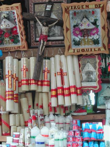
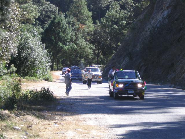
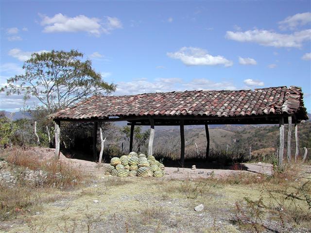
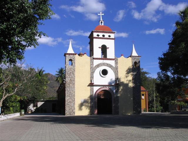
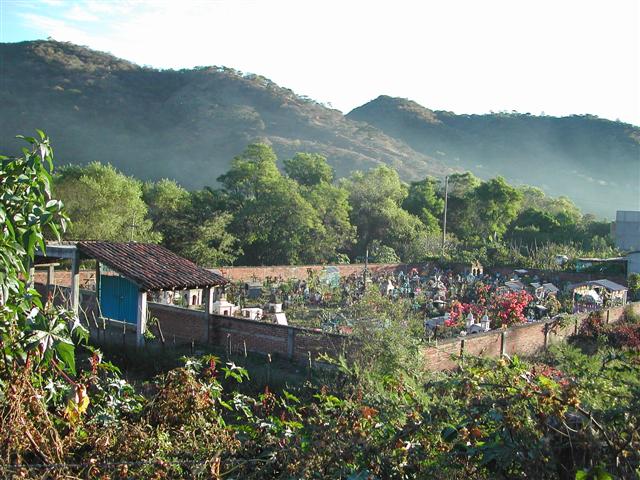
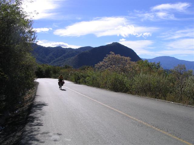
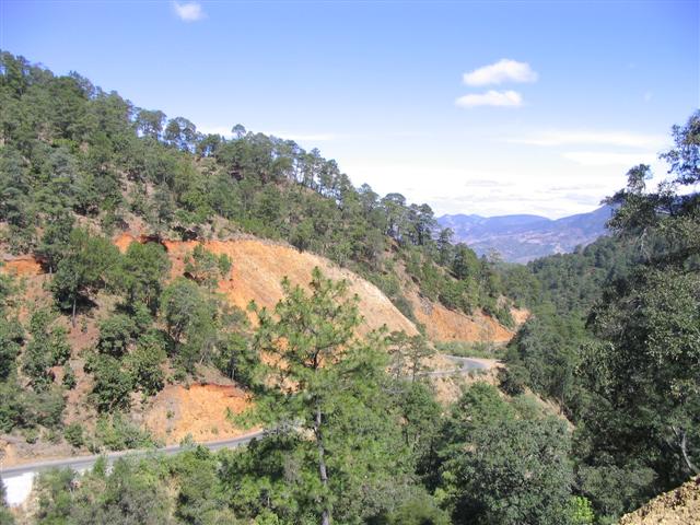
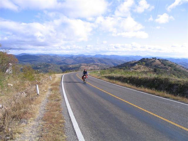
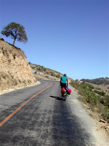
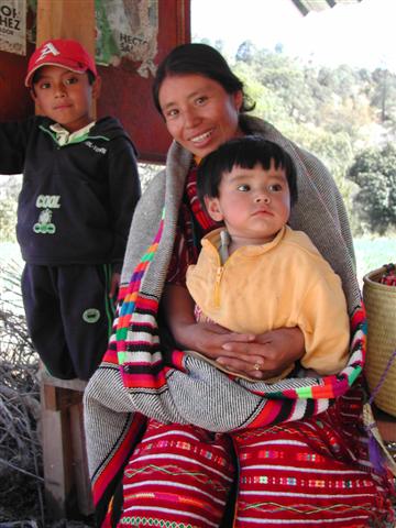
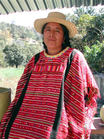
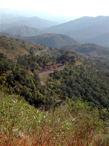
Diese äußerst beliebte Tour der extremen Schwierigkeitsstufe CHALLENGE im Bundesstaat Oaxaca beginnt und endet in der Stadt Oaxaca. Auf dem Weg zur Küste passieren wir einen der großen Wallfahrtsorte Mexikos: Juquila. Aus dem ganzen Land kommen Menschen hierher - zu Fuß, mit dem Fahrrad und motorisiert. Nach einem kurzen Aufenthalt an der Küste im Surferort Pto. Escondido geht es zurück in die Hügel und Berge und in einer Schleife wieder nach Oaxaca. Die Bergkulisse hier ist schlicht spektakulär. Die Region ist reich an indigener Kultur, vor allem der Mixteken, Triqui und Amuzgos. Zum Abschluss folgen wir einer alten Handelsroute, die sich über den Kamm eines hohen Bergrückens windet.
Anmerkung des Archivs: Route und Tagesetappen rekonstruiert aus den Fahrradcomputer-Aufzeichnungen (Ciclomaster) und dem Routenblatt des Guides von der Fahrt im Dezember 2006; Gesamtanstieg über 14,000 m (laut der saisoneigenen Präsentation).
| Termine: | Tues Dec 5, 2006 to Tues Dec 19, 2006 (2 weeks - 10 cycling days) |
| Distanzen: | Average/day: 87km Maximum/day: 117km Total Approx: 870km |
| Routentyp: | Extreme CHALLENGEChallenge DifficultyYou need to have excellent fitness and good cycling experience. Distances generally average about 70 - 110 km per day (depending on hills), and are always less than 150 km. Roads range from flat to Sierra Madre (mountainous!). We may climb up to 3000 metres in a day.WeatherThe Weather: MountainsLate fall and winter in the Mexican mountains is dry and cool. The sun warms things up during the daytime, but expect freezing temperatures overnight. High volcanoes can be snowcapped around this time.Spring is warmer, and in the summer it will often rain in the afternoon. RoadThe Road: MountainsThe road is generally in excellent condition. There are some sections of dirt road, and rough pavement. In the mountainous areas, the road rarely flattens out and occasionally climbs at more than a 10% grade, however in the high plateaus the road can be fairly flat to rolling. Traffic is generally light to non-existent, except of course close to larger towns and cities. The surface is generally wide and the drivers are courteous.LandThe Land: MountainsAltitudes generally range between 1500 and 2500m, however on some tours we may climb up over 4000m. The high volcanoes are snow-capped in the winter. The mountain vegetation varies greatly from humid cloud forests to cool dry pine forests or dry desert shrub. |
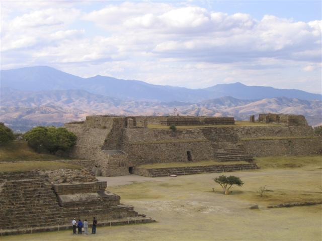
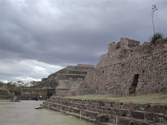
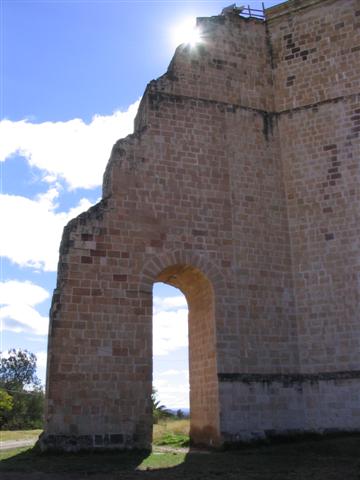
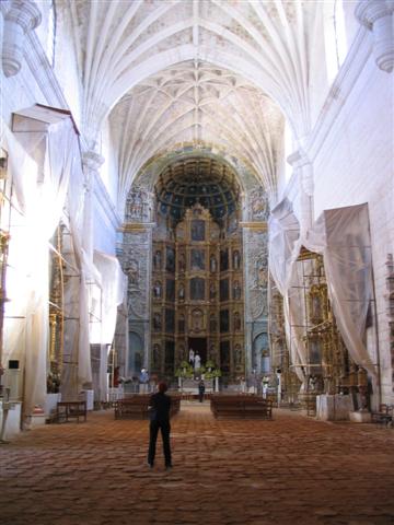
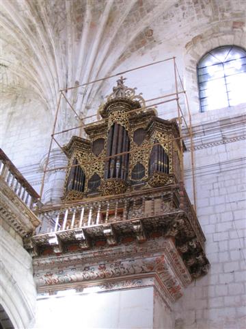
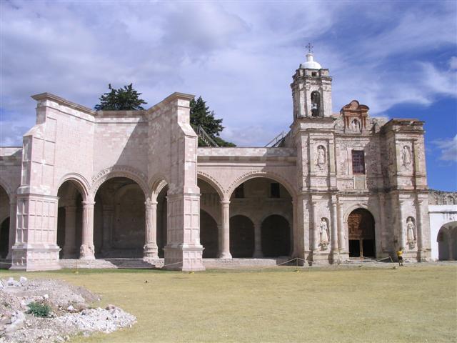
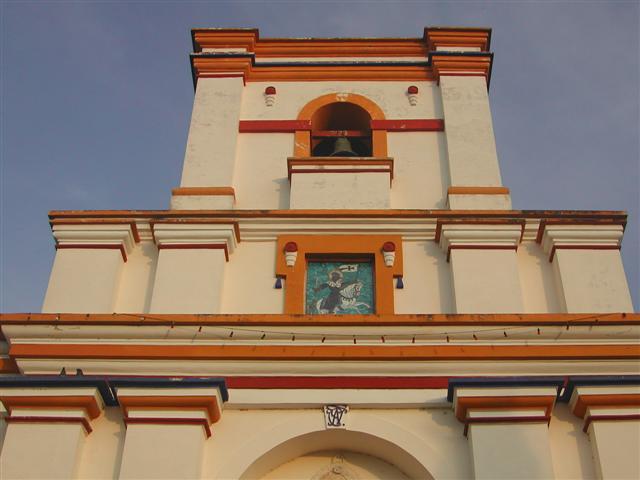
| Highlights: | High mountains and deep valleys make for some outstanding scenery and challenging riding. There are Zapotec ruins as well as indigenous Zapotec, Mixtec and Triqui people and settlements. The roads here are very quiet, most with very little traffic. We will make the famous pilgrimage to Santa Catarina Juquila, then head down to the famous surfer town of Puerto Escondido on the coast. There are more challenging climbs ahead, as well as colonial towns, little Paris, the biggest Dominican church in all of Mexico and a spectacular almost 50km long stretch of road along an ancient trading route that meanders atop a high ridge offering views on both sides. |
| Preis: | US$1,065 (die in jenem Jahr veröffentlichten ungefähren Gesamtkosten vor Ort) |
| Teilnehmer: | 8 Radfahrer (aus der Kundendatenbank des Unternehmens) |
Die Route
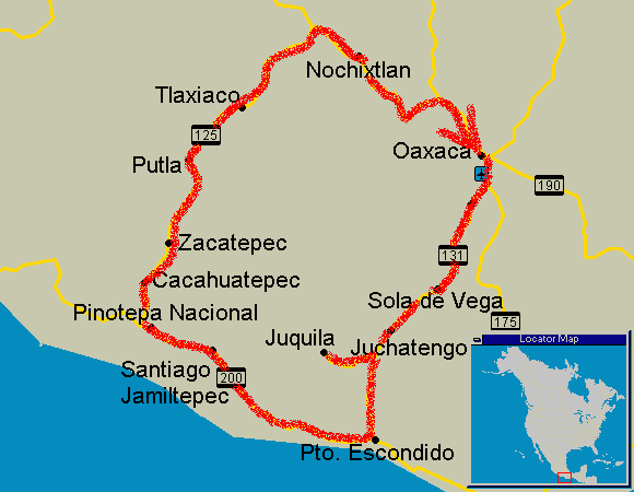
Reiseverlauf
Kleinere Änderungen am Reiseverlauf blieben immer vorbehalten.
WannWoDistanzHighlights
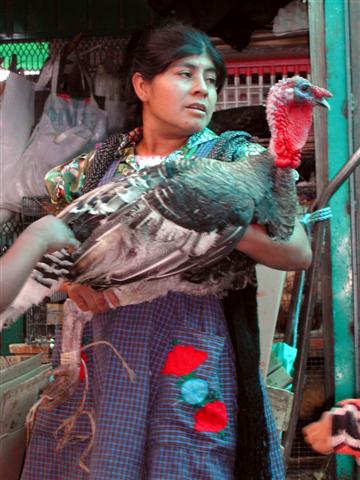
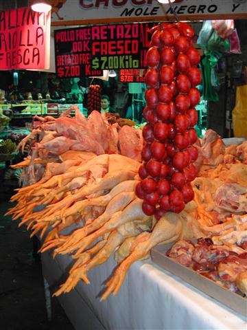
Day 0Meet in Oaxaca-Gather in the city of Oaxaca; markets, Zapotec ruins and the best mezcal in the world.
Day 1Zimatlán → Sola de Vega66 kmClimbing south into the Sierra Sur (1,340–1,820 m).
Day 2Sola de Vega → Juchatengo51 kmUp over a high pass and down (895–2,140 m).
Day 3Juchatengo → Juquila54 kmTo the mountain pilgrimage town of Juquila (880–2,145 m).
Day 4Juquila → Puerto Escondido117 kmThe big descent to the Pacific — from 2,130 m down to the sea. The longest day.
Day 5Puerto Escondido (rest day)-Beach day on the Pacific coast.
Day 6Puerto Escondido → Santiago Jamiltepec112 kmCoastal riding near sea level.
Day 7Santiago Jamiltepec → Cacahuatepec76 kmRolling country inland (50–450 m).
Day 8Cacahuatepec (rest day)-Rest before the climb back into the sierra.
Day 9Cacahuatepec → Putla84 kmBeginning the long climb inland (275–940 m).
Day 10Putla → Tlaxiaco88 kmBack up into the high Mixteca, topping out at 2,410 m.
Day 11Tlaxiaco (rest day)-Rest in the Mixteca highlands.
Day 12Tlaxiaco → Nochixtlán87 kmHigh plateau riding (2,025–2,440 m).
Day 13Nochixtlán → Oaxaca105 kmThe final run back down to Oaxaca city (1,580–2,315 m).
Was es in jener Saison kostete
| Guide-Honorar | + Unterkünfte | + Essen & Trinken | + Sonstiges | = Ungefähre Gesamtkosten vor Ort |
|---|---|---|---|---|
| $550 | $215 | $180 | $120 | $1,065 |
Alle Beträge in US-Dollar, wie seinerzeit veröffentlicht. Unterkunft, Verpflegung und Eintritte unterwegs zahlten die Teilnehmer selbst — das Guide-Honorar war der einzige Betrag, den ¡El Tour berechnete. Die vollständige Entwicklung: der Preis von Pilgrimage in Oaxaca im Lauf der Jahre.
Fotoalbum